
A recent visit to Bristol Museum and Art Gallery came with something of a surprise. Hanging on the wall of the British and European Art: The Age of Enlightenment and the Birth of Romanticism gallery is a pair of paintings we recognised immediately as being from Kings Weston!
The paintings are by none other than Canaletto, and it’s after them that the Canaletto Room in Kings Weston house was named. The two paintings were auctioned in 2002 from the collection of Southwell family portraits still in the ownership of the family trust. The sale paid for the expensive restoration of the rest of the collection, but the two Canaletto’s went into private hands. They are now hanging in the museum on a five-year loan from a private collection.
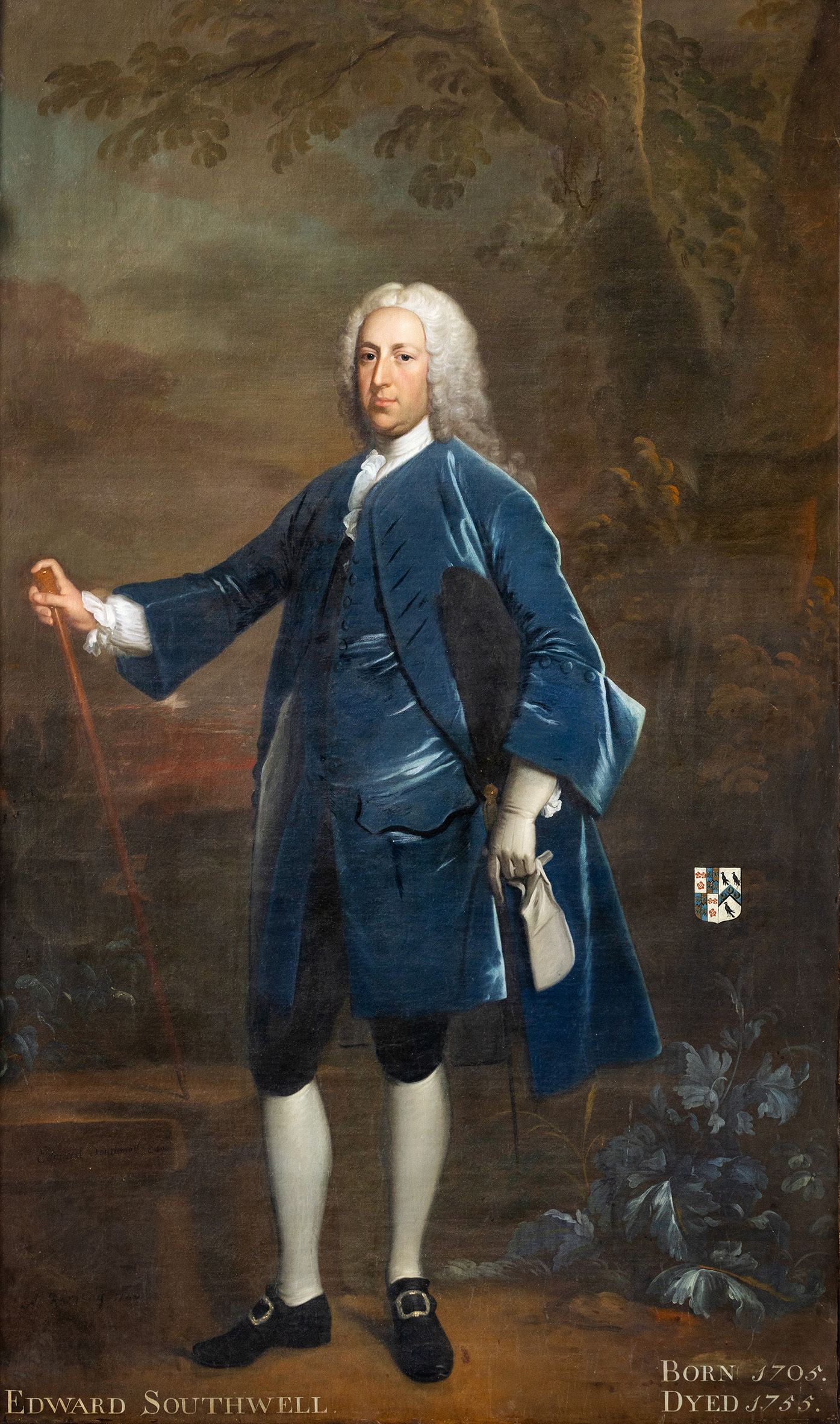
The two paintings were originally bought for Kings Weston by Edward Southwell II. At 21 the young Southwell had been dispatched to the Continent on his grand tour, returning home in August 1726. It appears that it was only in the following year that Southwell purchased the first two paintings through Owen Mc Sweeney (or Swiny). Mc Sweeny had become resident in the Italian city in 1721, becoming agent for several artists and selling his works to English gentlemen on the Grand Tour. It may be that Southwell placed orders for the paintings when he was in Venice in early summer 1726, for them to be sent to him the following year.
The latter wrote to the Duke of Richmond in 1727: “The pieces which Mr. Southwell has, (of Canals painting) were done for me, and they cost me 70 sequeens. The fellow is whimsical and vary’s his prices every day: and he that has a mind to have any of his work, must not seem to be too fond of it, for he’ll be ye worse treated for it, both in the price and in the painting too. He has more work than he can doe, in any reasonable time, and well: but by the assistance of a particular friend of his, I get once in two months a piece sketch’d out and a little time after finished, by force of bribery. l send yr Grace by Captain Robinson [ … ] who sails from hence tomorrow, Two of the Finest pieces, I think he ever painted and of the same size with Mr. Southwell’ s little ones (which is a size he excels in)”.
It’s worth noting that Mc Sweeney was an Irishman and Southwell maintained strong links with his ancestral homeland, shortly to become Secretary of State to that Kingdom in succession after his father. The pair may have connected in Venice over a patriotic bond.
Edward Southwell became one of the earliest gentlemen to boast Canaletto’s amongst their collections, at the forefront of a trend that would eventually see the artist coming to England to satisfy demand for his paintings.
By 1777 there were four paintings by Canaletto hanging at Kings Weston. Is it possible that Southwell had returned from Venice with a pair in 1726, the two commissioned through Mc Sweeney adding to the collection?
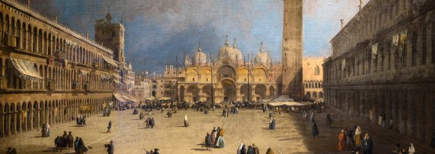
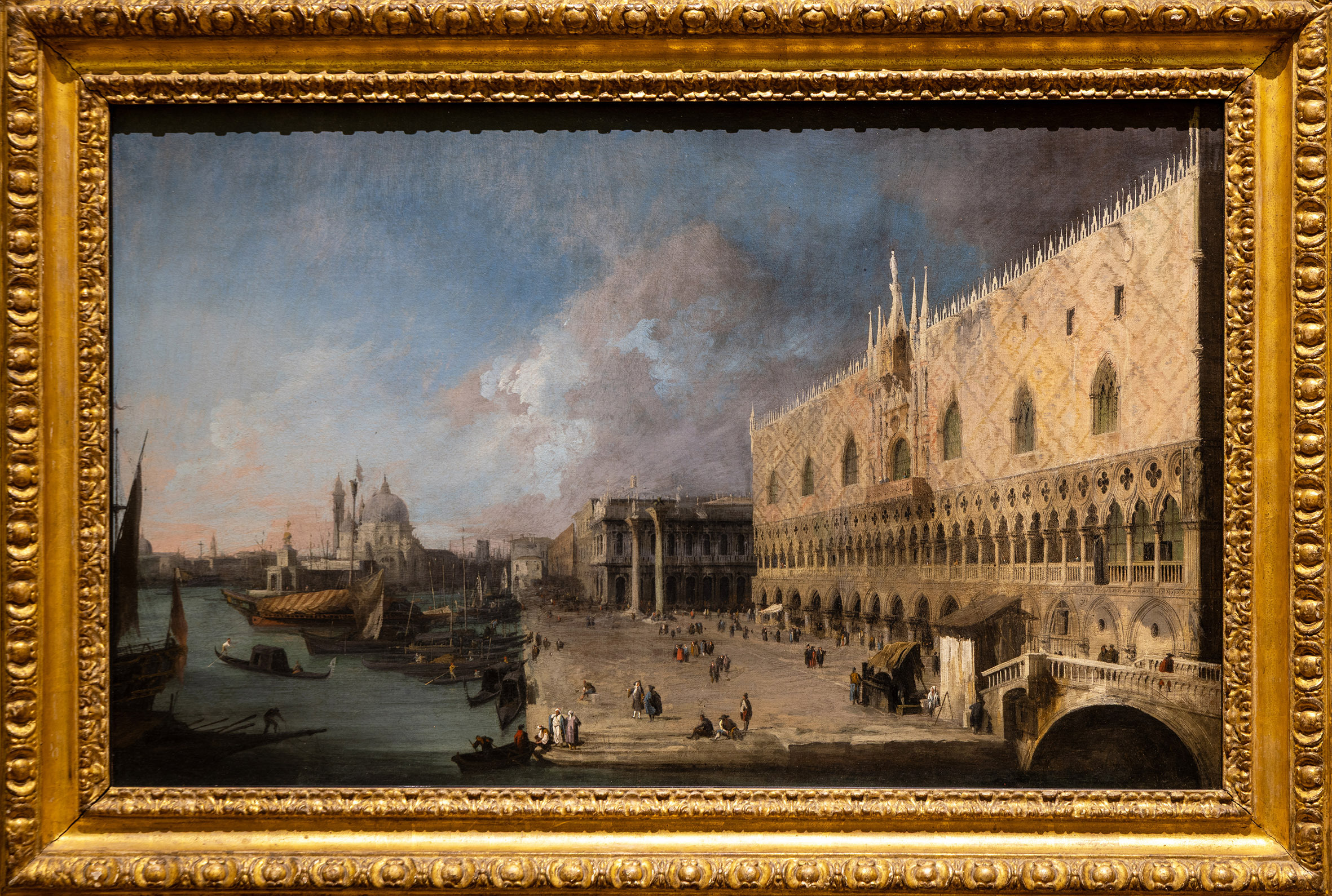
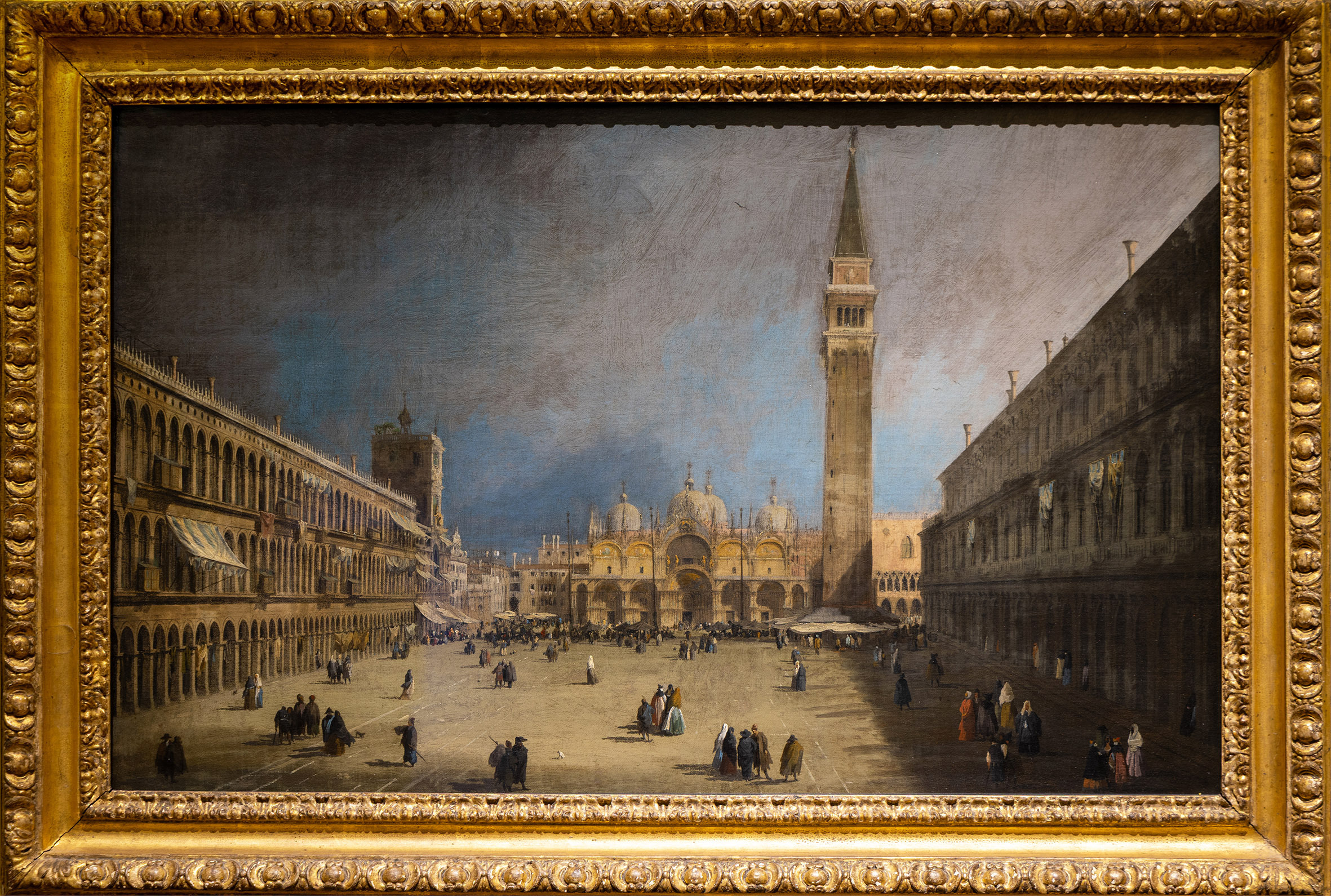
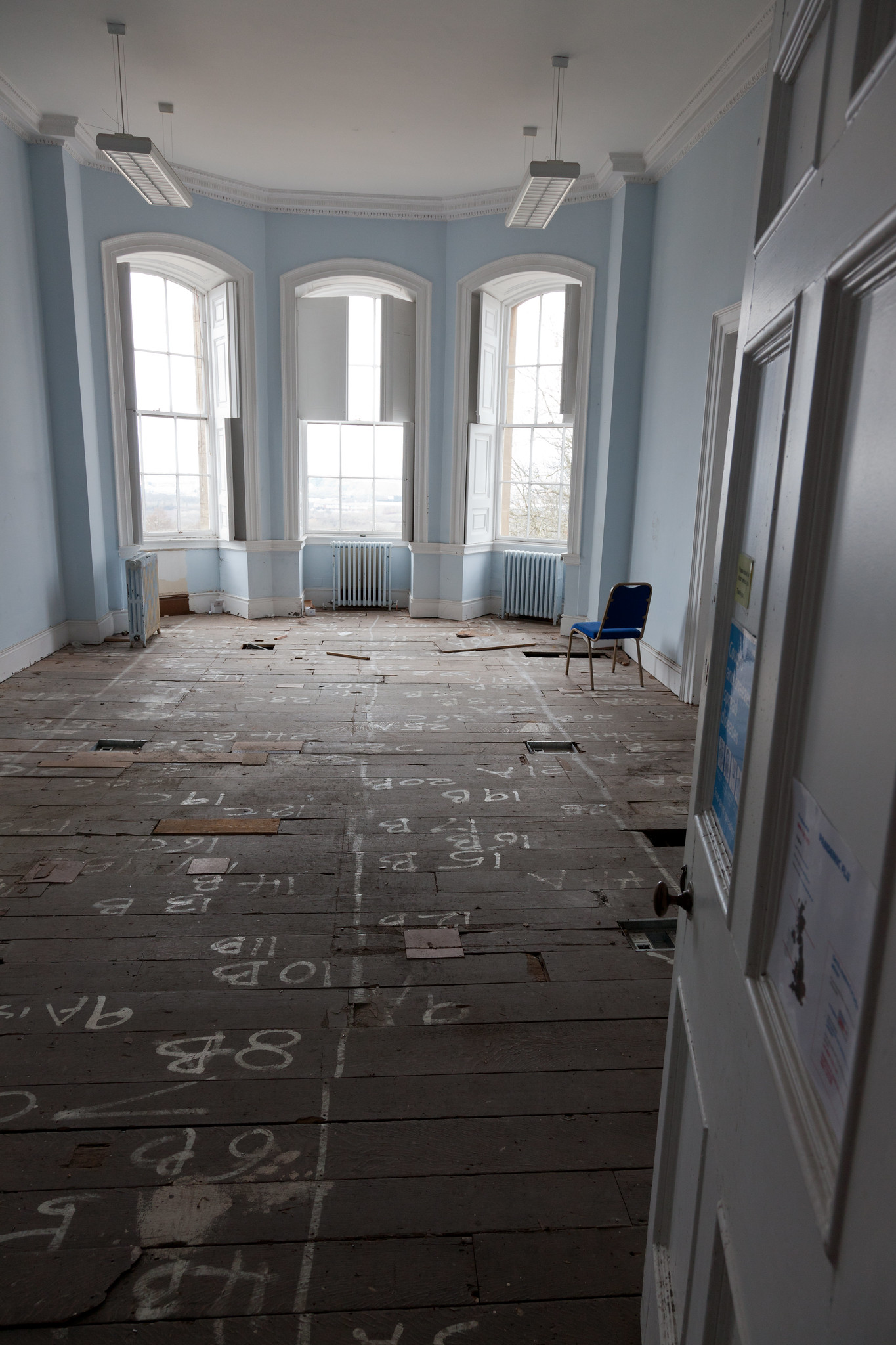
The four views of Venice were hung together in the Dressing Room of Lady de Clifford, a large first floor reception room with a bay window overlooking the Severn. Here, most of the family’s best and most intimate paintings were to be found, those intended to be seen by the family’s closest friends and most important guests. They were clearly held in high regard.
When the last in the line of Southwells, the 21st Baron de Clifford, died and his property was sold in a series of London Auctions, the paintings were described and “St Mark’s Quay” and “St Mark’s Place – the companion”. The original attribution to Canaletto was later amended in the catalogue to name Guardi, another Venetian artist, as their creator. They sold for £31 and £25 respectively, possibly bought back by family members. But what of the other two recorded in the house a generation before?
In a year when a number of other paintings that once hung at Kings Weston have gone to auction, it’s gratifying to find two such important paintings being shared with the public so generously.


