It was a bit of a surprise to find that well-rummaged archives can still turn up some historic Kings Weston gems. A recent return to Bristol Archives turned up, by chance, an interesting new estate plan. Perhaps we’d seen it before and thought it was a copy of a better known one, or perhaps we’d never thought it would be of any interest, but when it was delivered to the reading room by the archivists it was great interest.
We’ve regularly used snippets and details of another estate plan, drawn in 1772 by a surveyor called Isaac Taylor, to illustrate some of our stories, and you’ll find it as a base layer on the Know Your Place website. On the website it’s been carefully pieced together from the many double-page spreads from the book in which they’re bound. Sadly, this means that some of the picturesque details around the map are missed off.
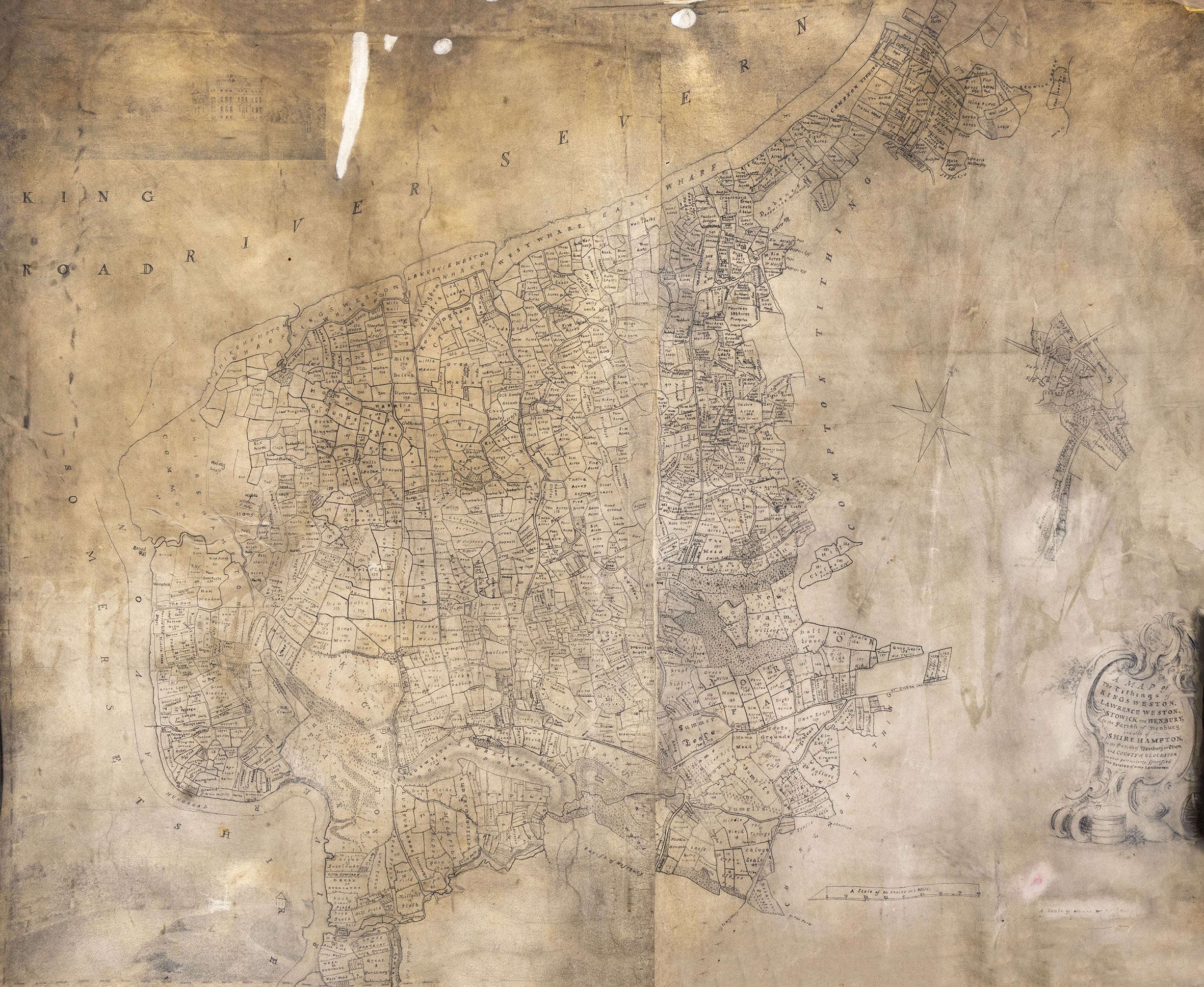
The new estate map is also drawn by Tailor, but is instead a single rolled large-format map of the entirety of the Kings Weston estate. It is dated 1773, the date after the bound series of maps and no doubt commissioned by the Southwell Family as an alternative way of keeping track of their estates. Unlike the 1772 survey, this later version is at a larger scale. It’s also different in showing clear signs of having been updated and altered in a different hand. These changes appear to reflect changes in ownership of parcels of land and redraw detail that has become feint or worn through use.
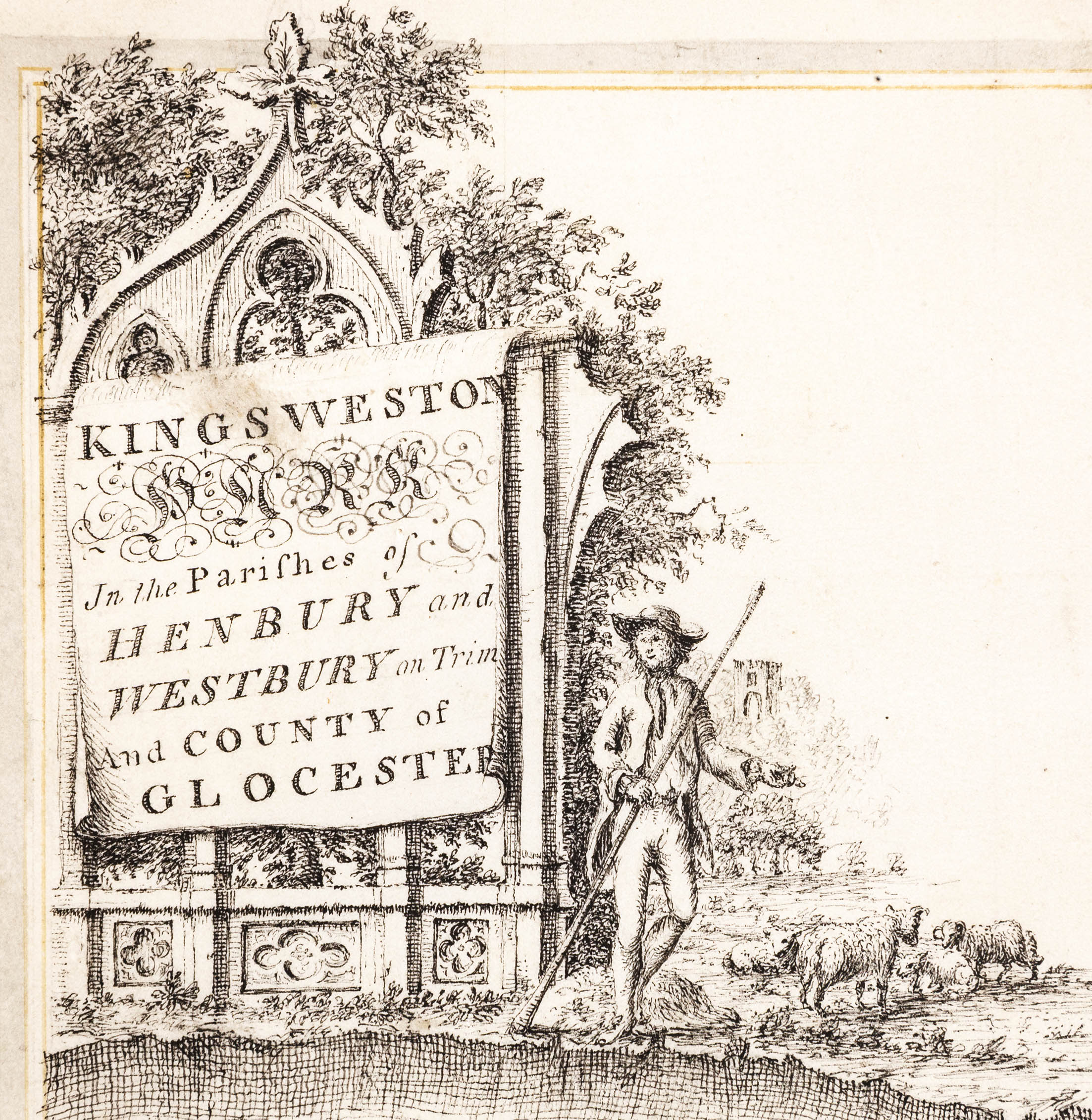
The 1773 survey is a vast and unwieldy document. It certainly shows the enormous scale of the estate in a more complete way than the individual portions in the bound volume, although without quite such the fitness of drawing. The cartouche carrying the details of the map is less elaborate, but there’s something else almost hidden under the dirt that’s accumulated on the velum over the centuries – drawings!
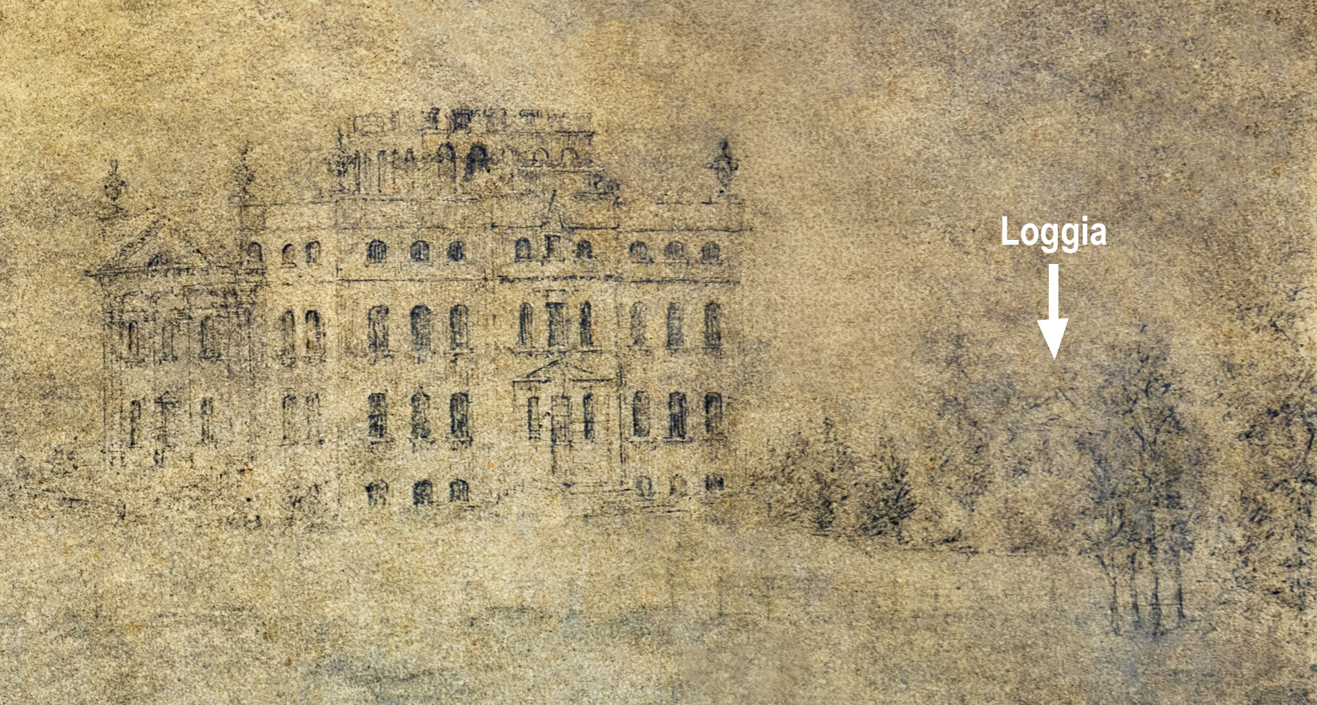
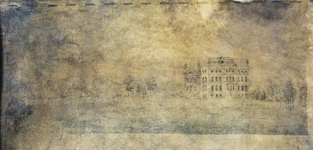
There are two, one in each corner on the left hand side. Sadly, they are very dirty and difficult to make out. The lower one is a scene on the Avon at Lamplighters, but very little detail is discernible to be of much interest. The other is more interesting to the Kings Weston story, being a rare early depiction of the house itself from the south.
The drawing is better preserved, but is still badly stained and dirty. The house is recognisable on the right hand side, with the pediment of the Loggia just visible over the top of the shrubbery. Also discernible is the avenue of lime trees approaching from the left. The planting differs little from today, though trees and shrubs have definitely matured from the illustrated state.
The images presented here have been enhanced to try and bring out some of the detail.