Last month we mentioned Kingsweston Hill in passing, and the “Evergreens Wood” marked on old maps. It’s worth reflecting more on the Hill, and its once-famous attractions now lost to us. Common Land until the 1830s, its public status was challenged by the Enclosure Acts which sowed the seeds of its change in character.
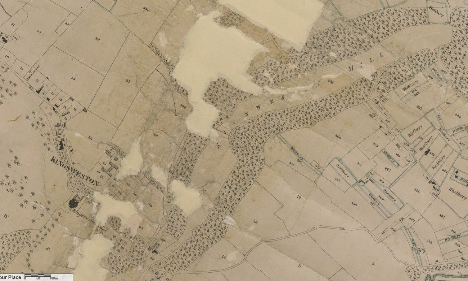
The hill was once open downland, grazed by sheep and bare. Compared to the present appearance it was a wild and exposed place. Siting a windmill at its summit reflects the position wide open to the winds reaching up the Severn Estuary.
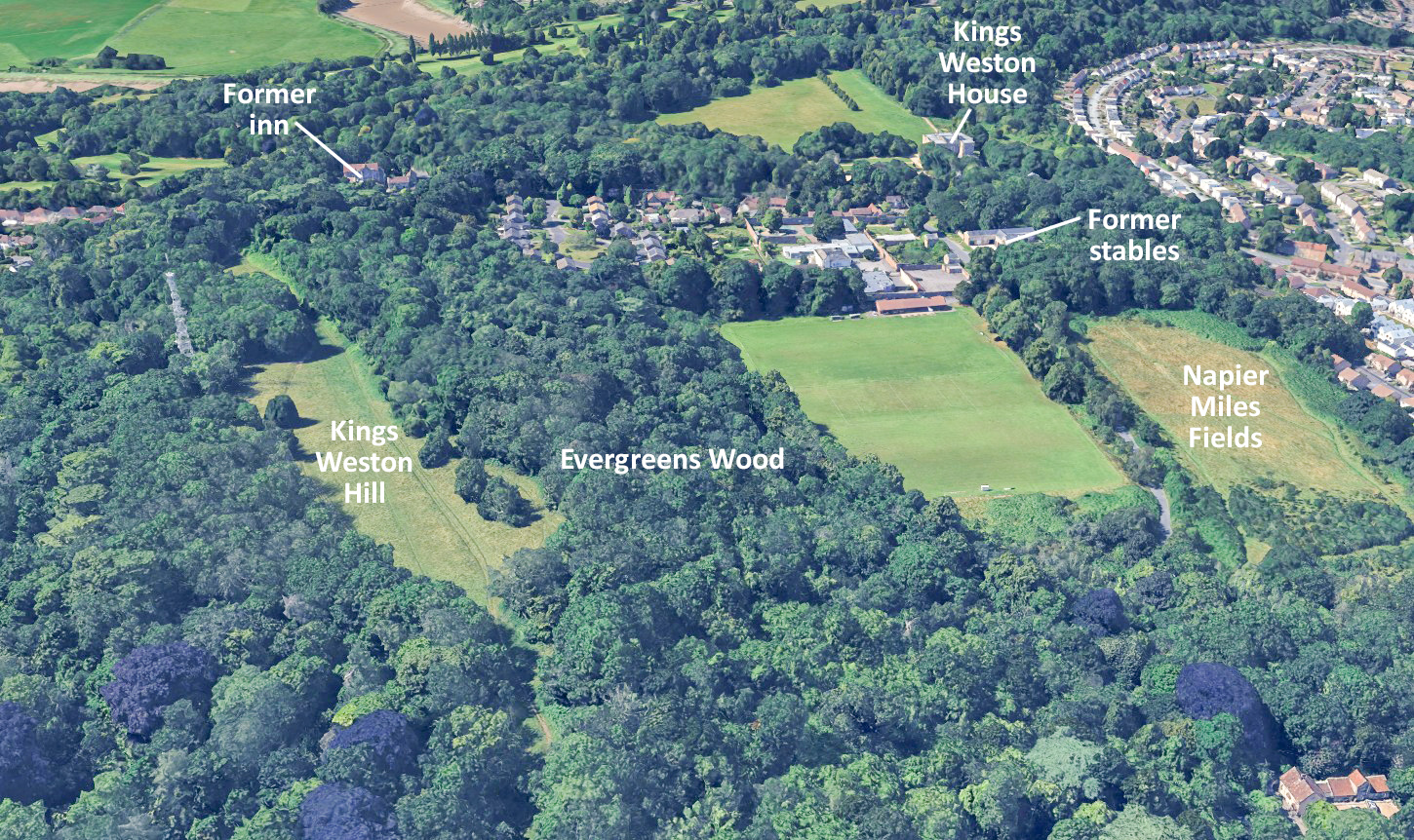
It was probably already a popular resort from the city by the time the Kingsweston Inn (sometimes called the breakfasting house) was built in the 1720s to cater for visitors and “which is much, resorted to on account of its situation”. The open views stretched all around you from the top, right across to Wales in the north, towards Somerset and the Avon Gorge to the South, and stretching as far as Chepstow and down the Bristol channel in the direction of the New World.
The sublime character of the spot, the raw nature of the hill and the beauty of the views, became one of the most famous attractions of Kings Weston in the Eighteenth Century. There are many documented visits and descriptions throughout this period.
John Wesley, preacher and founder of the Methodist Movement, was a frequent visitor to Kings Weston, writing of it often in diaries and letters. He recounts one such occasion in 1739 when his spreading notoriety for open-air preaching saw himself becoming a local attraction:
“On Holy Thursday, many of us went to Kings-Weston Hill, 4 or 5 miles from Bristol. As we were sitting on the grass, two gentlemen went by, and by way of jest, sent up many persons to us from the neighbouring villages: To whom therefore I took occasion to speak on these words, ‘Thou has ascended up on high’”.
‘A six week tour thru the southern counties of England and Wales’, a travel guide published in1769 by Arthur Young remarks on the breadth of the views;
“for a prospect, you must go up the hill, a little beyond where the breakfasting house for the hot-well company is situated; you look down from the hill to the west upon some fine woods, in the midst of which, Mr. Southwell’s house appears. In front is a very fine valley, two miles broad, beautifully intersected with hedges and trees, and bounded by the Severn, which is here ten miles over; you command Kingroad, with a fleet of shipping, generally lying at anchor; and, lastly, the Welsh mountains terminate the whole. Behind there is an extensive view of the country, well scattered with villages: the windings of the Severn are seen 20 miles, and those of the Avon quite to Bristol. The prospect extends into Somersetshire, Gloucestershire, Monmouthshire, Glamorganshire, Brecknockshire, Radnorshire, and even to Pembrokeshire; and, upon the whole, is inferior to nothing”.
In the 1780s, another such book, The Bristol and Hotwell Guide, lauded:
“There is scarcely a spot in the kingdom that affords a more pleasing and extensive view of land and water than is seen from This hill.”
The same decade saw the publication of a poem named after the hill by a Thomas Hobhouse, further raised the national profile of Kingsweston Hill and its views.
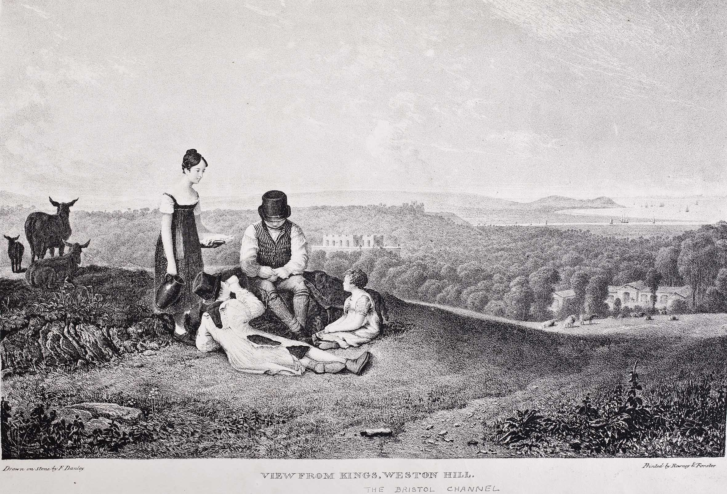
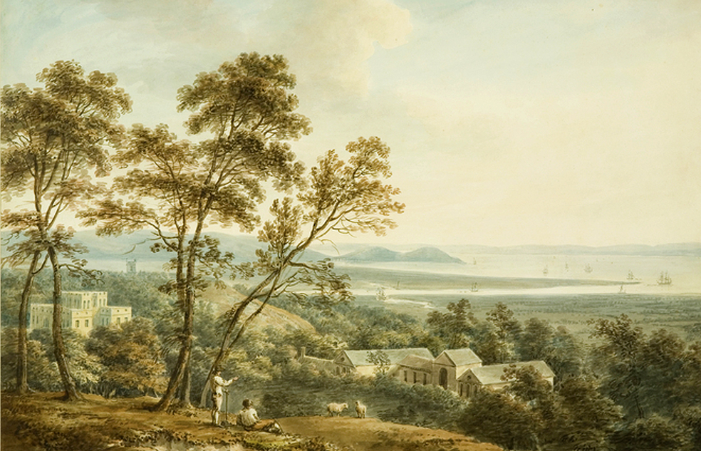
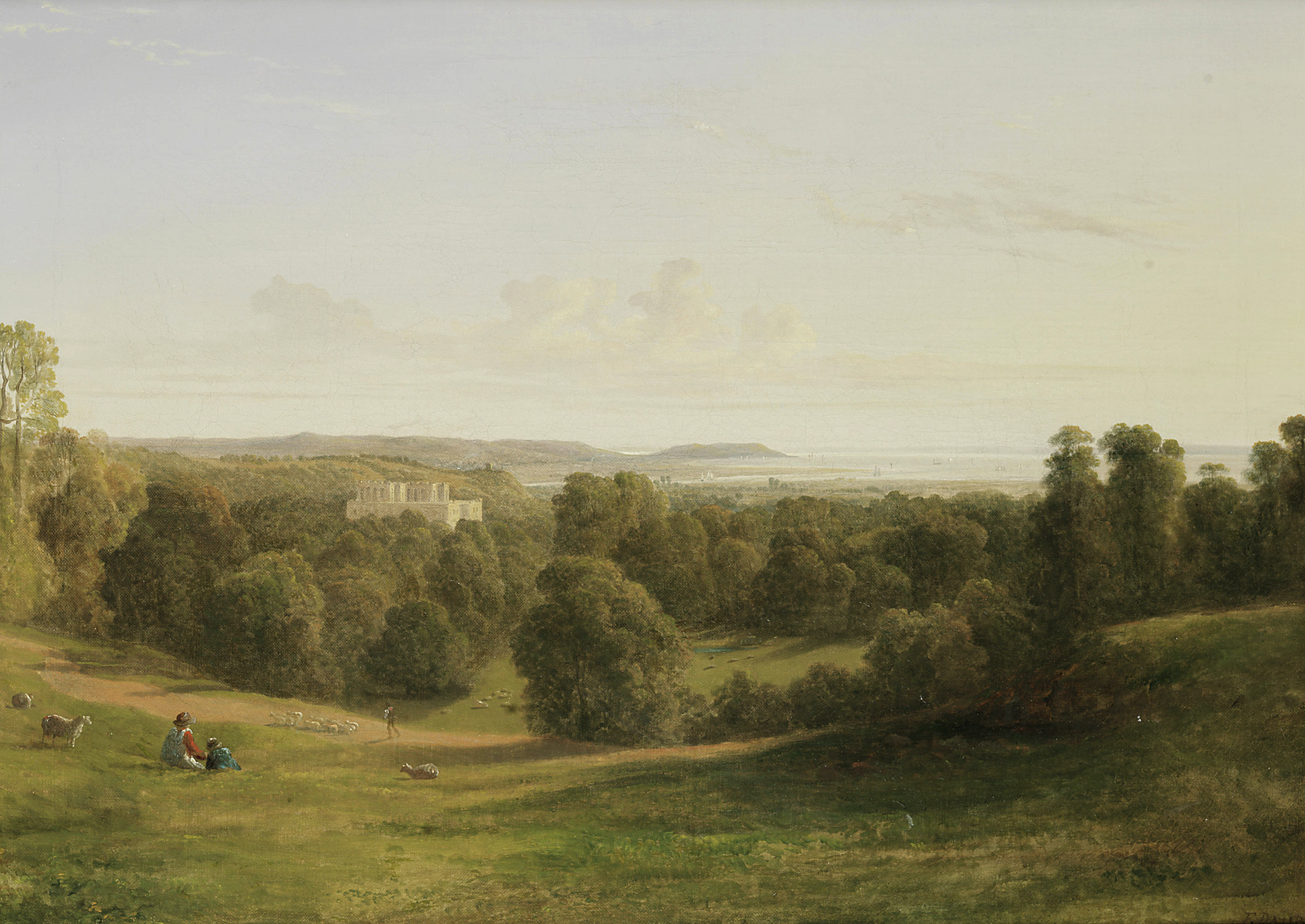
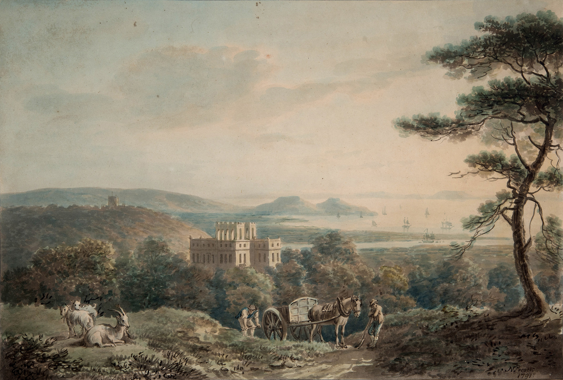
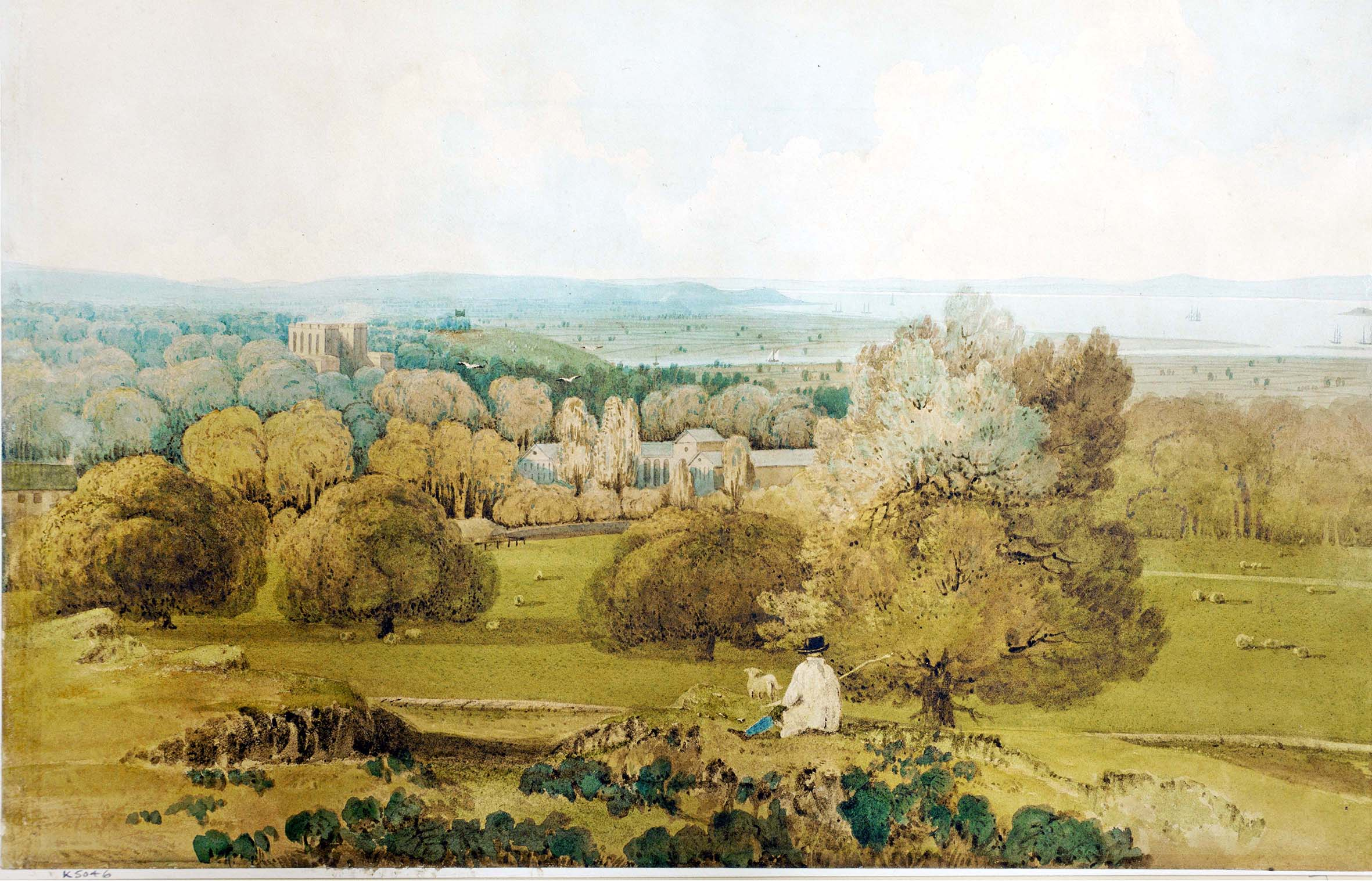
The picturesque prospects led to a brisk trade in paintings and artworks developing around the turn of the 19th Century, with many versions of the view across the Severn recorded by artists of the Bristol School. This was Kingsweston Hill at the height of its notoriety.
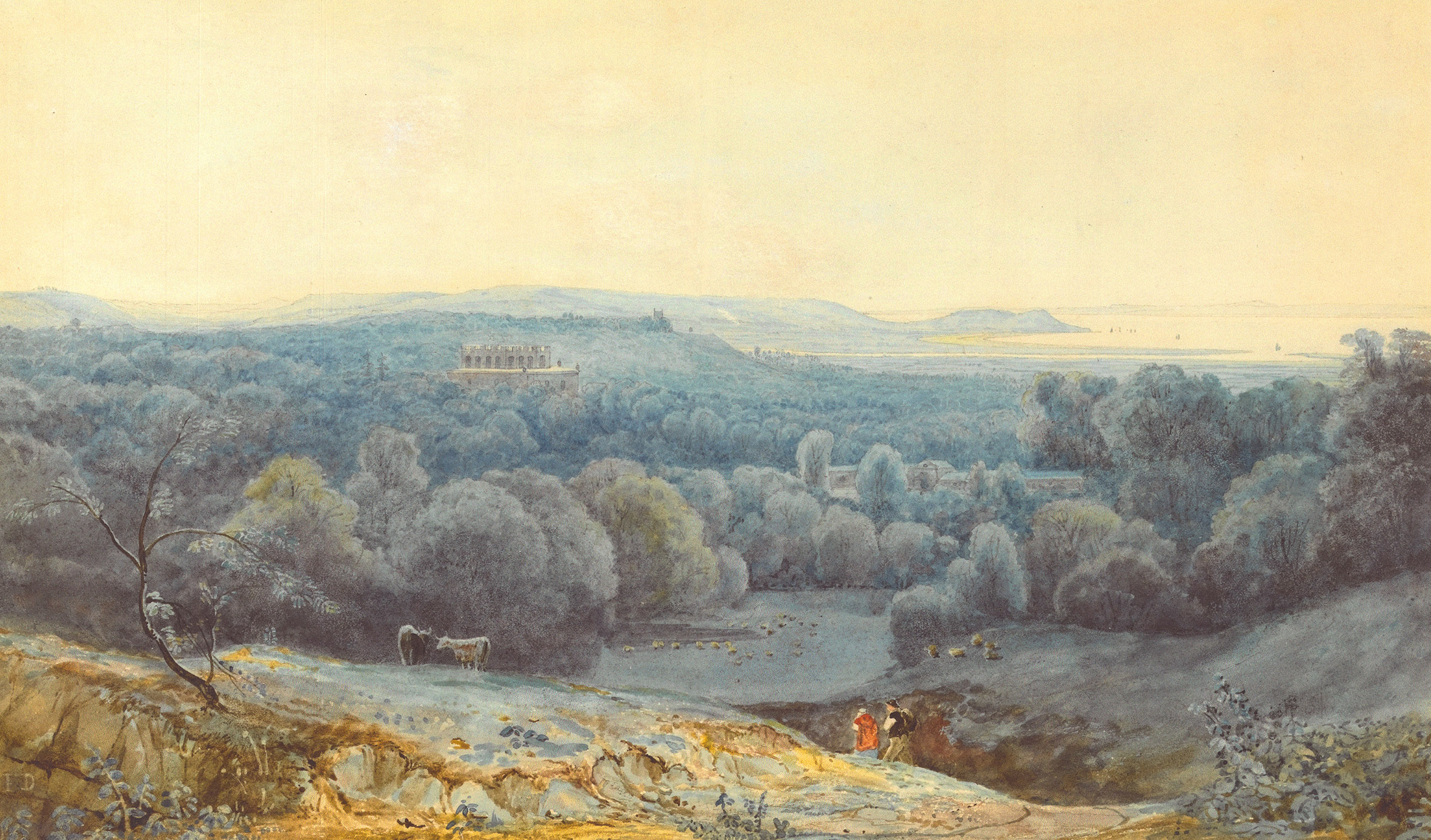
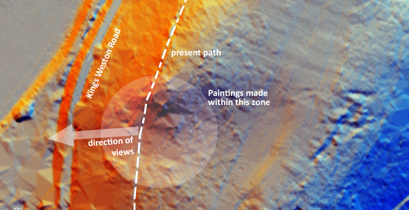
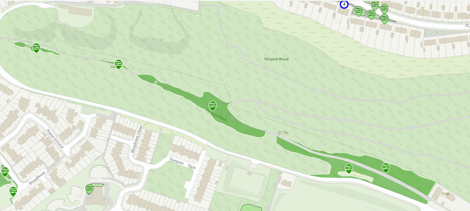
Many of these views took advantage of a common spot now engulfed within Evergreens Wood on the north side of the Hill. The location was along the path along the northern edge of the hilltop from where the visitor could enjoy the views westward towards the Bristol Channel with the vast scale of the natural landscape put into perspective by the diminutive (relatively speaking) mansion and buildings of Kings Weston house in the middle distance.
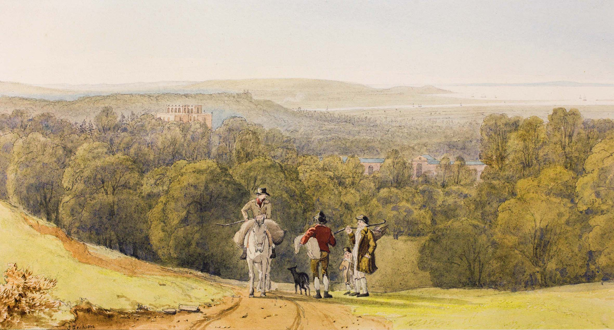
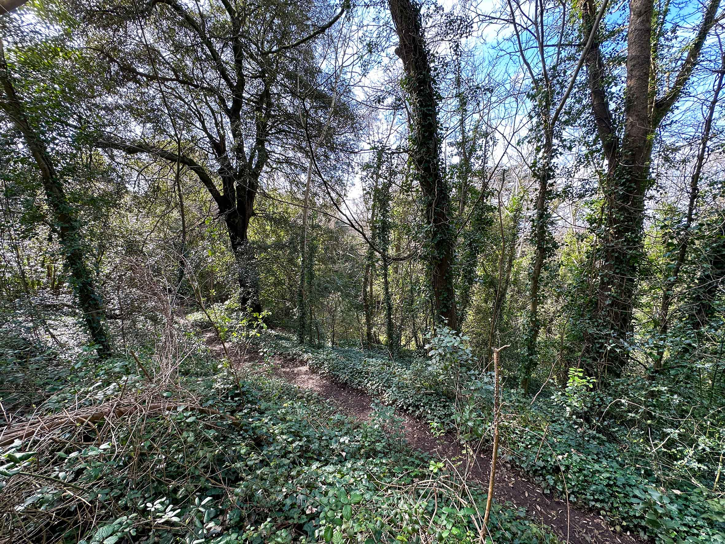
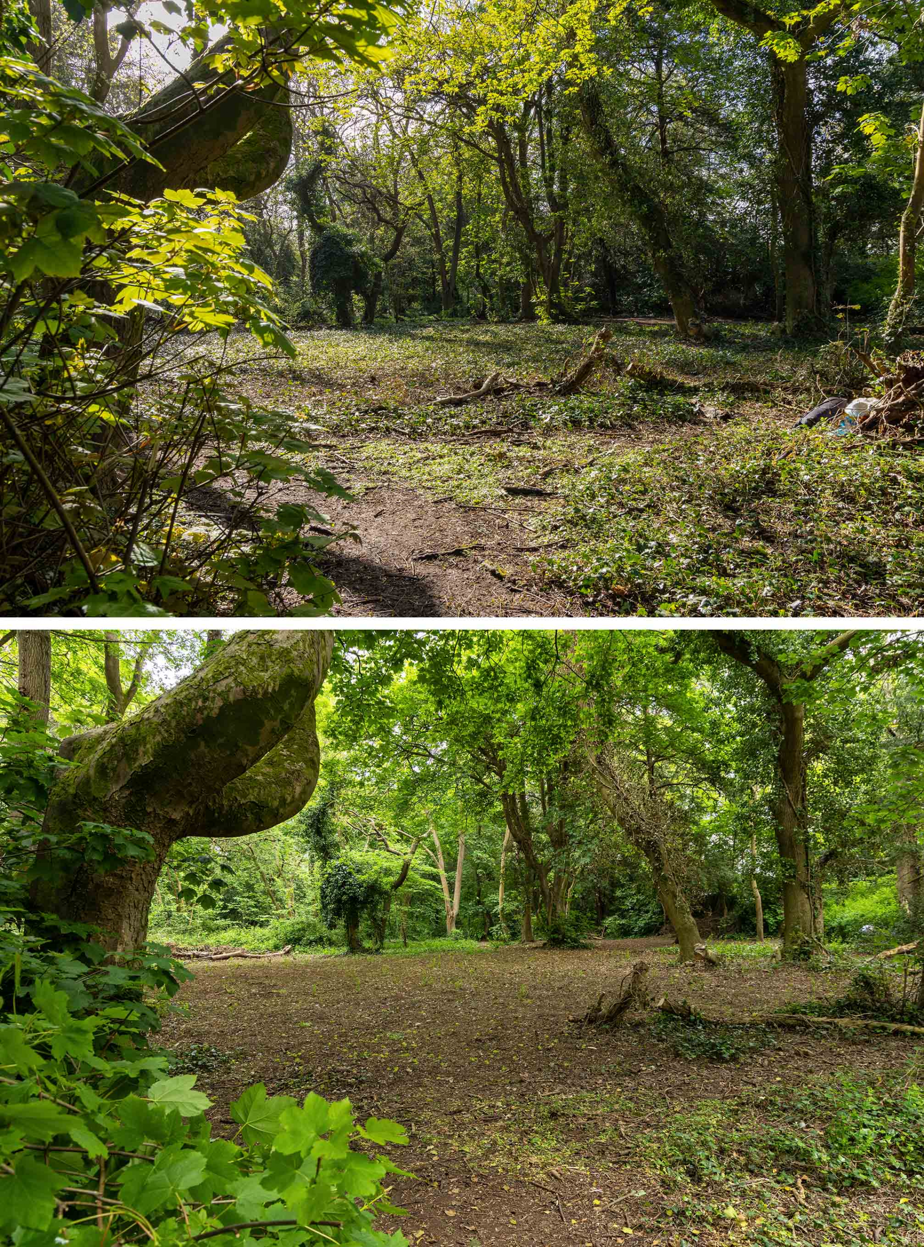
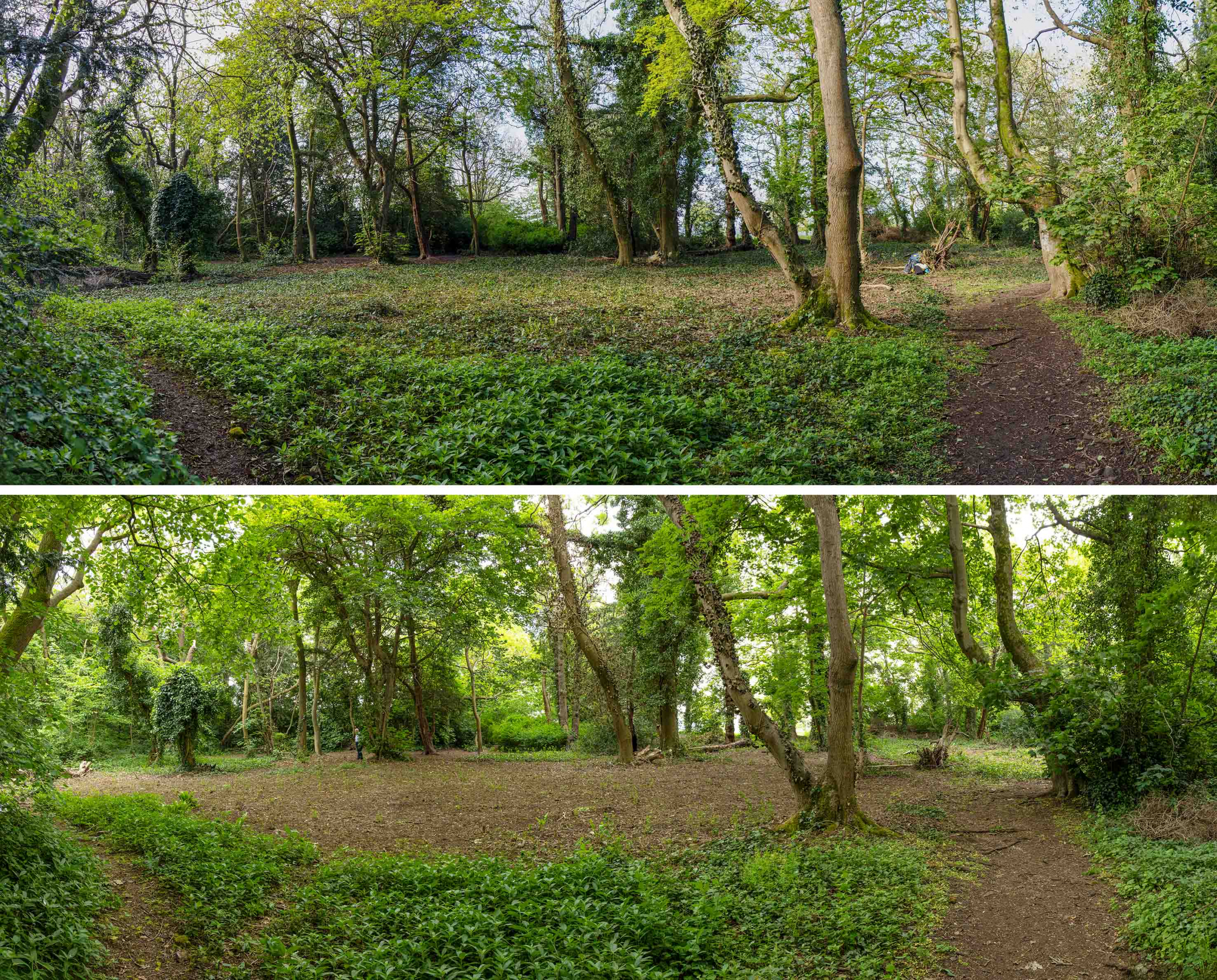
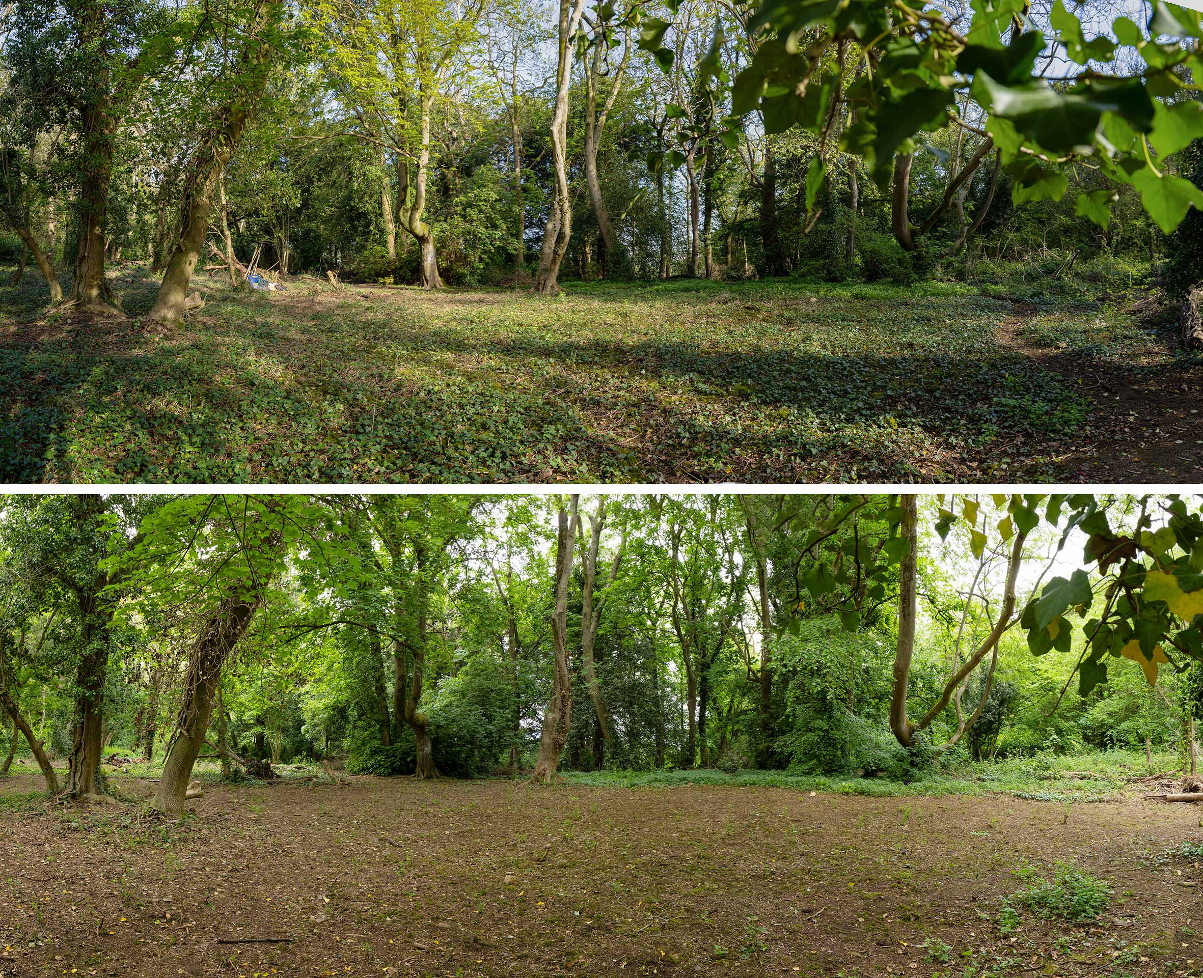
Trying to find the site today is confounded by the dense woodlands that have grown-up since. This is in large part to the Enclosure Act of 1812 that saw the whole of the hill ‘privatised’ in the ownership of the Southwell family, then the Lords de Clifford. The Act was not enacted formally until 1822, after which Edward Southwell, 21st Baron de Clifford set about making his mark on it and making it an extension of the Kings Weston landscaped parkland.
Of Lord de Clifford, it was written
“The great enjoyments of Lord de Clifford when at home was planting shrubs and trees. Many thousands were planted under his directions. I can picture him now as I often saw him, a little insignificant man riding on a very quiet horse followed by John Webb, his favourite groom, to superintend operations.”
One focus for this avid planting spree appears to have been Kingsweston Hill. New carriage rides were constructed encircling the hill, routes that can still be enjoyed, and these were planted heavily with new trees.
Whether the Lord’s intention was to deliberately obscure the views that attracted so many public visitors to his land isn’t known, but this was certainly the end result. Evergreens Wood was planted along the side of the hill with yews, cherry laurel, conifers, arbutus, and Evergreen Oak that might be better suited to north-facing slopes.
Whilst the view from Penpole Point remained celebrated, the frequency with which the views from Kingsweston Hill are mentioned falls off rapidly after the 1830s, perhaps as rapidly as the new evergreens grew up. With the purchase of the estate by the Miles family in the same decade they sought to prevent all public access to the hill, but the strength of feeling against this from across Bristol saw them relent.
The botanist Charles James Fox Bunbury makes no mention of views from the hill on his visit In September 1870. He wrote:
“Kate and I had a long walk with Miles through his beautiful woods, clothing the ridge of the hill eastward of the house, and joining on the woods of Blaise castle. The luxuriant growth of evergreens is remarkable: above all the arbuti are more numerous and larger and finer than I have seen anywhere else except Killarney.”
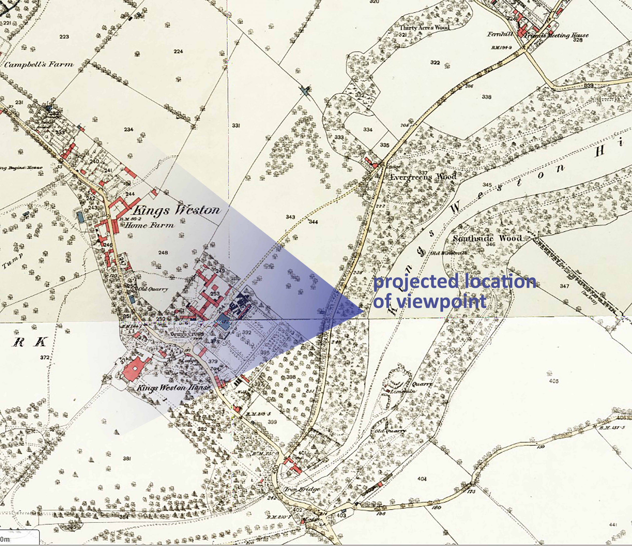
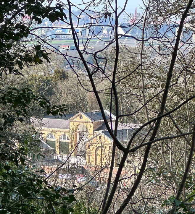
And so, the character of Kingsweston Hill has been permanently changed by these plantations. No longer can views be enjoyed, barely even glimpsed through the dense dark foliage. The exact location once enjoyed by Bristol’s artists remains uncertain, but the clearest impression of where it once was can only be gleaned using Lidar plans. A shallow valley in the side of the ridge now unrecognisable beneath the trees, and associated with it some rougher topography, is likely to represent the celebrated spot. If one looks through the dense canopy of trees that now cloak the slope, you might just glimpse a view out, and again marvel at how high you are suspended above the Severn estuary.