The early history of Kings Weston is less apparent to the casual visitor to the estate today. The Tudor manor was swept away by Sir John Vanbrugh, and the landscape bears little relation to how it would have appeared in the period between it and the Roman era before it.
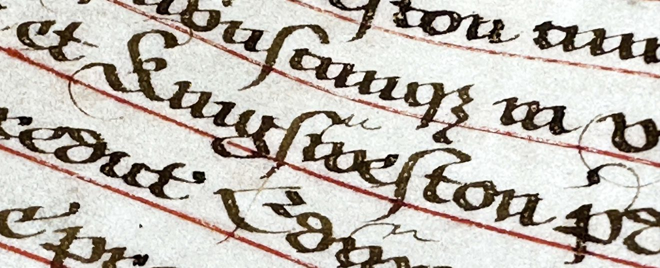
We’ve recently been exploring tantalising documentary evidence that helps fill in some of the lack of physical evidence. We begin with the Domesday Book, the famous gazetteer of landholdings made in around 1086 for King William I, to record his newly conquered realm.
Kingsweston is named here as part of the Hundred of Berkeley. The Hundred was a legal and administrative area established by the late Saxon period and this particular Hundred was divided into two; a principal area around Berkeley itself, and a detached portion including the Tithing of Kings Weston.
At the time of the great survey the Berkely lands were owned by the Crown, the Domesday book recording that William the Conqueror had seized them from the late King Edward (the Confessor) on his invasion of England.
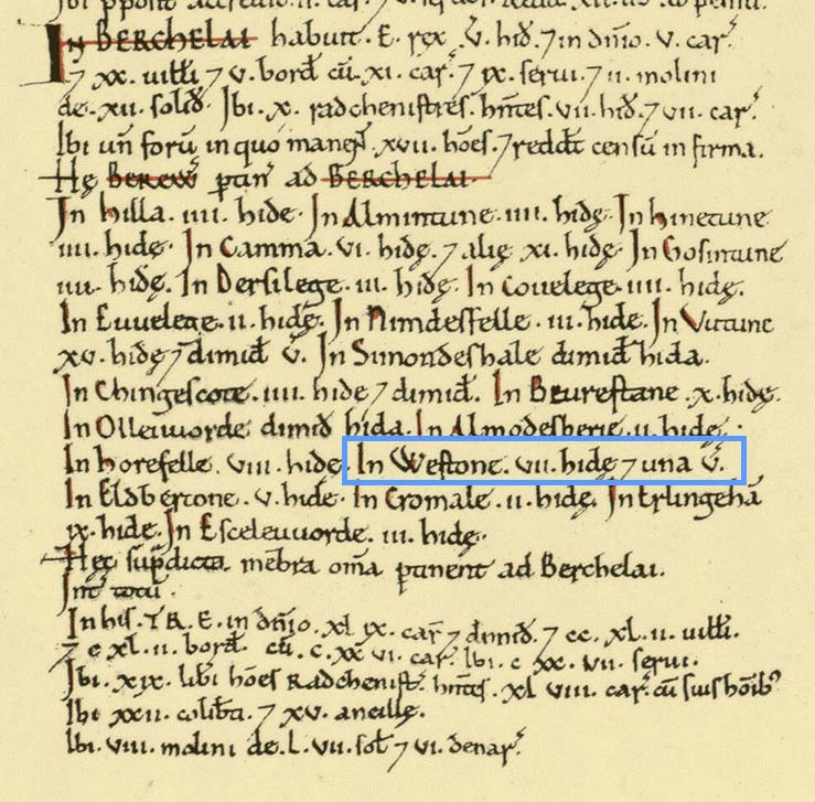
“Westone” is recorded in the Domesday Book, indicating that its royal ownership had not yet been reflected in its name. The Berkely Hundred was by the king and ten “riding men” probably knights and sub-lords under the King. The prefix of Kings Weston illustrates that it was held by William directly, and a royal estate.
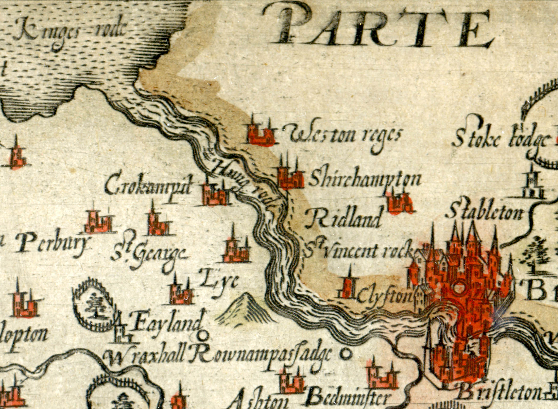
Complication is added by Kings Weston being under the religious authority of Henbury Parish and therefore the neighbouring landholder, the Bishop of Worcester. The Bishop held a portion of Henbury Parish, Westbury on Trym, Shirehampton, and a selection of random fields within the boundary of the Kings Weston lands.
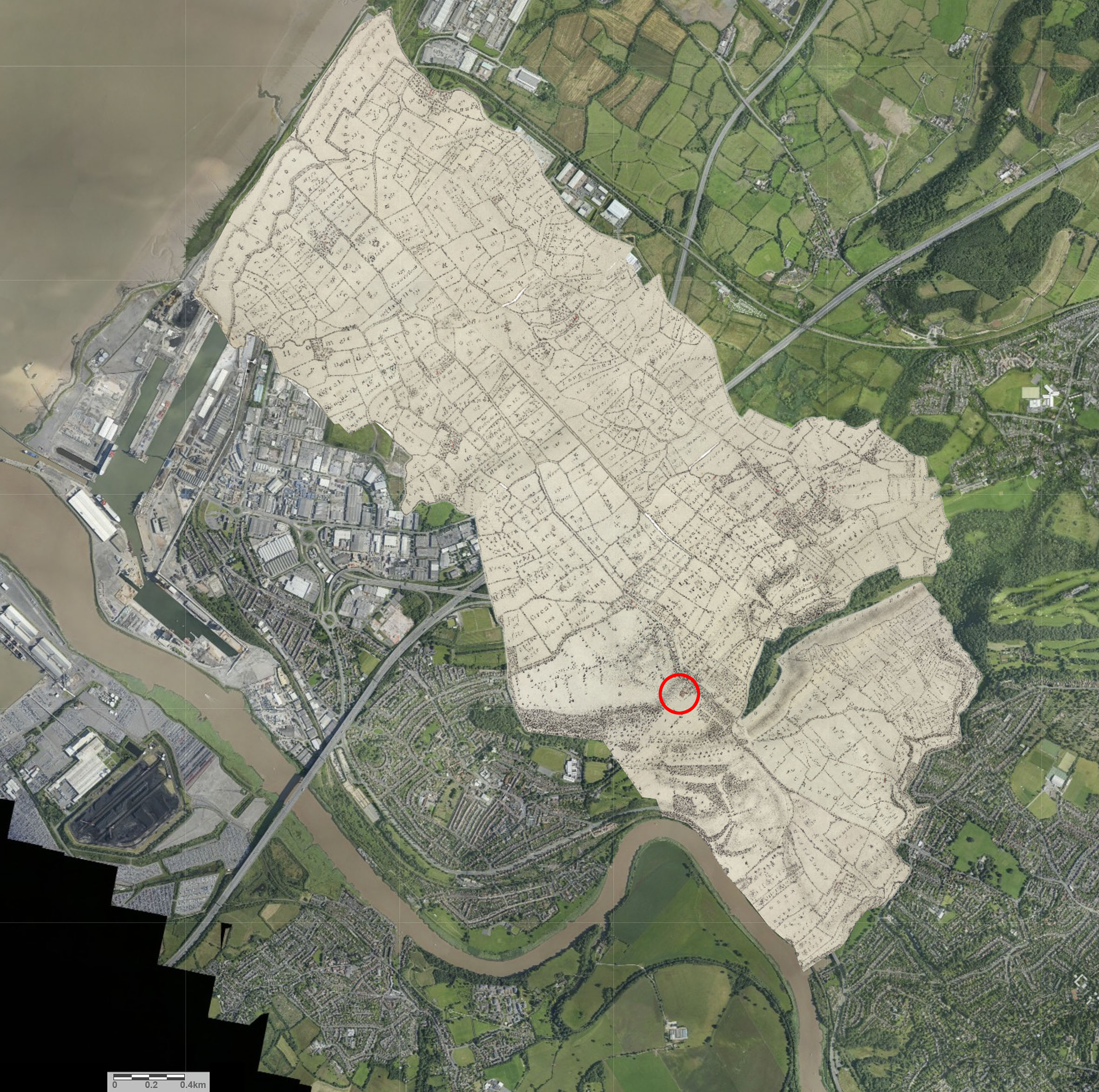
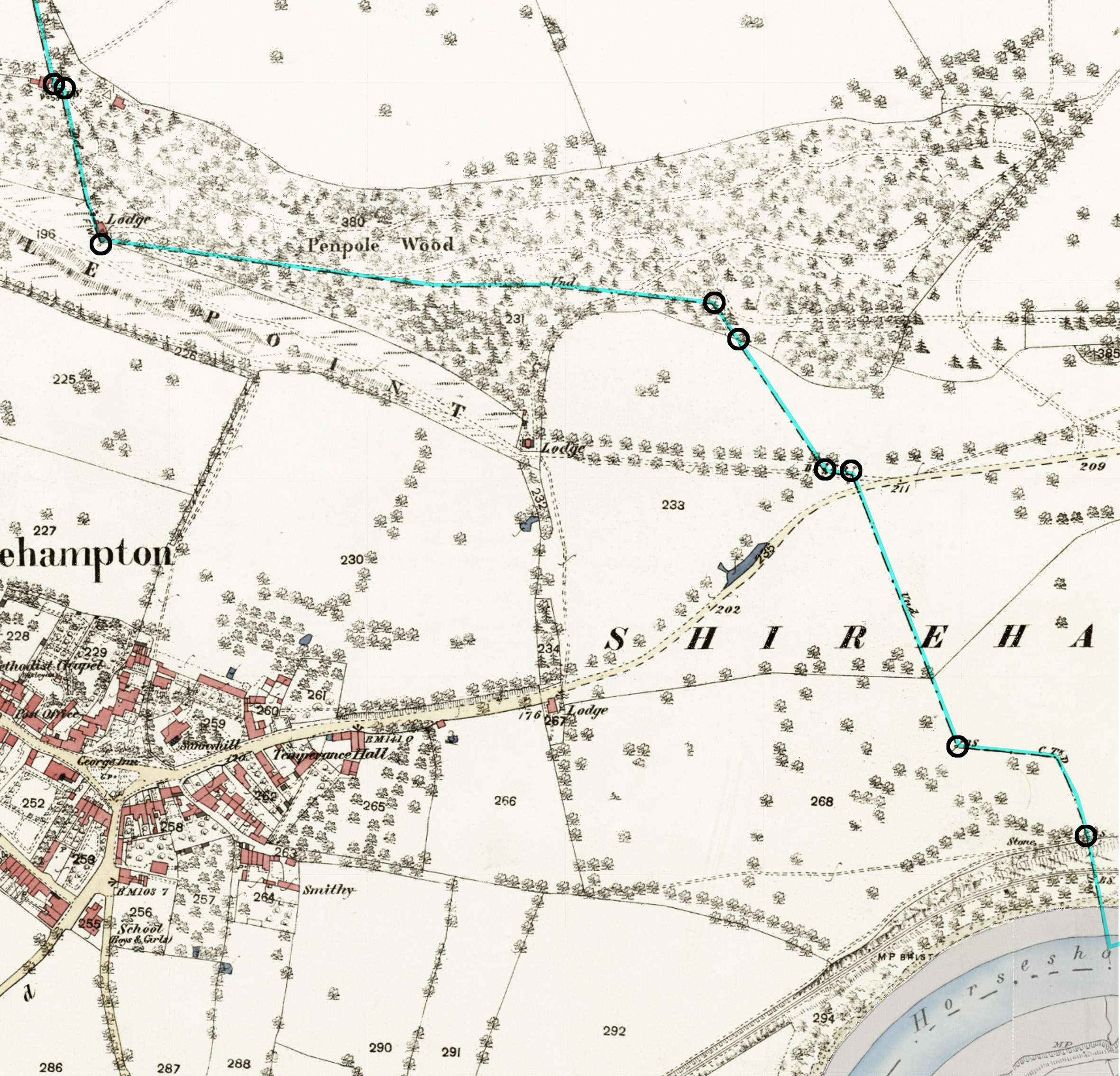
The Saxon boundary between the Royal and Episcopal Hundreds can still be traced across Kings Weston. Later boundary stones are dotted through Penpole Wood and across Shirehampton Golf course. The ruins of Penpole Lodge mark an angle in the boundary where to arrives across the levels from the Severn and turns to follow a ridge, partially natural and partially cut through the woodland and running east. A boundary stone hidden near the White Oak marks another change of direction before the alignment is lost beneath sports pitches, reappearing again as a shallow bank and ditch running across the golf course.
No doubt this division between secular and religious lords was of significance in the Saxon era, and along with the King’s ownership of the Barton Regis Hundred that included Bristol, ensured direct control of the lands on the north side of the Avon for many miles along its length, and along the banks of the Severn for significant stretches. The threat of Viking attack from Ireland would have been very real for the inhabitants of Kings Weston who were exposed to the coast and river.
The account of the Domesday Book wraps all of the Berkely Hundred lands into a single account, but helpfully identifies the extent of the Weston tithing as being 7 hides and one virgate, about 870 acres. This, however, would have included only the taxable arable land and not the full boundary.
Kings Weston was still held by the Crown in Henry III’s time but, before 1284, it was granted to Anselm de Gournay along with Beverstone in Gloucestershire. Whilst de Gournay favoured Beverstone as his principal residence it’s likely there would have been a manor house at Kings Weston from which this portion of the estate was administered, and where he would have stayed when visiting his estates. A messuage, a significant house, was recorded at kings Weston in 1360 when the estate had found its way into the hands of the Berkely family.
Such a manor house would likely benefit from a chapel, either for private worship or as a chapel of ease for the local community. This returns us to the recent works at the View Garden on Napier Miles Road, the reputed location of such a chapel. As well as anecdotal evidence, the presence of a chapel is supported by later documentary sources. A 1614 parish deed in Gloucestershire Archives records “a tenement called the Chappell” in Kingsweston was assigned to new tenants along with other property. The “Parson of Kingsweston” was identified as the man responsible for the maintenance of the sea wall where the Kings Weston tithing met the Severn, though it’s unclear who wis was or whether the chapel still existed.
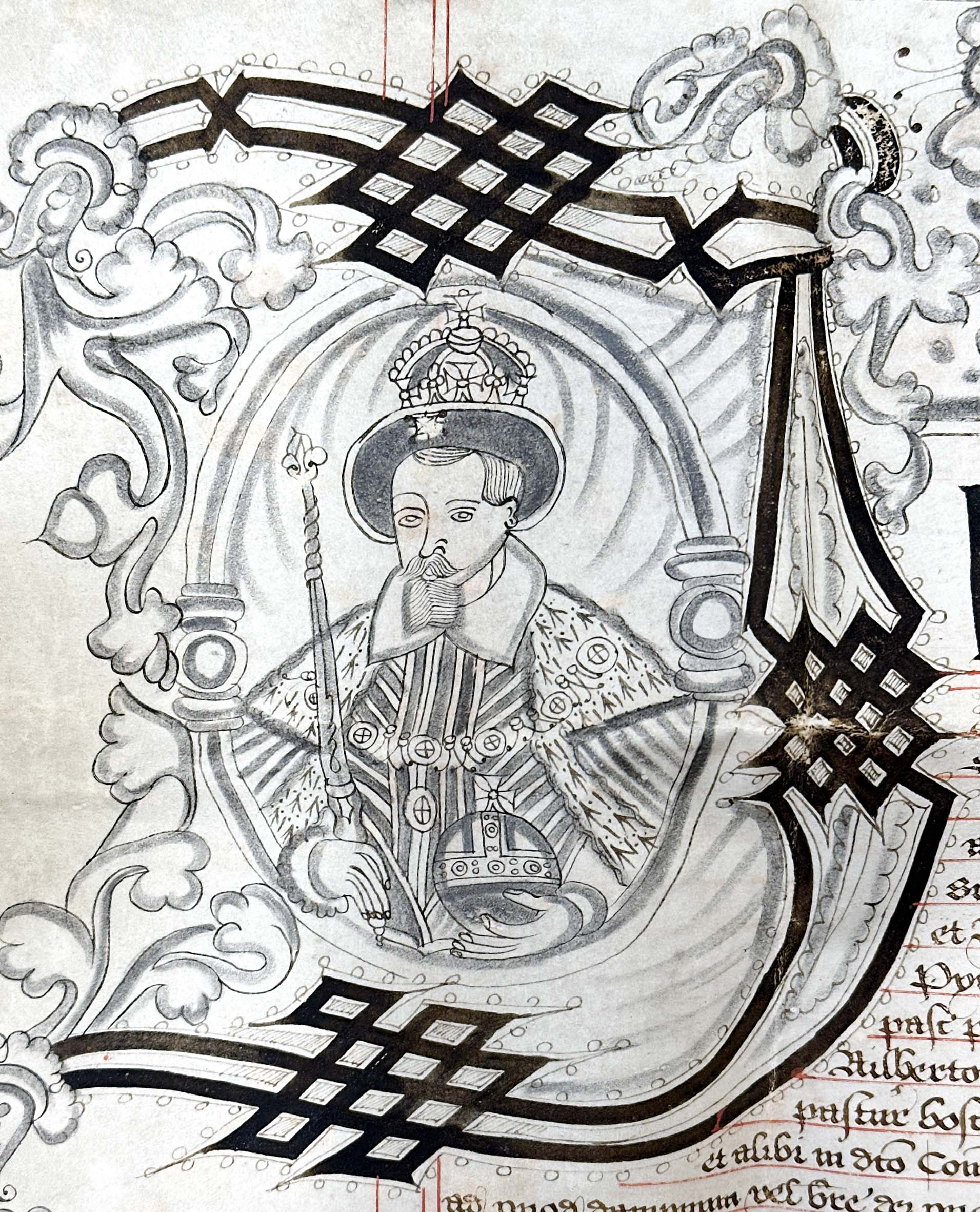
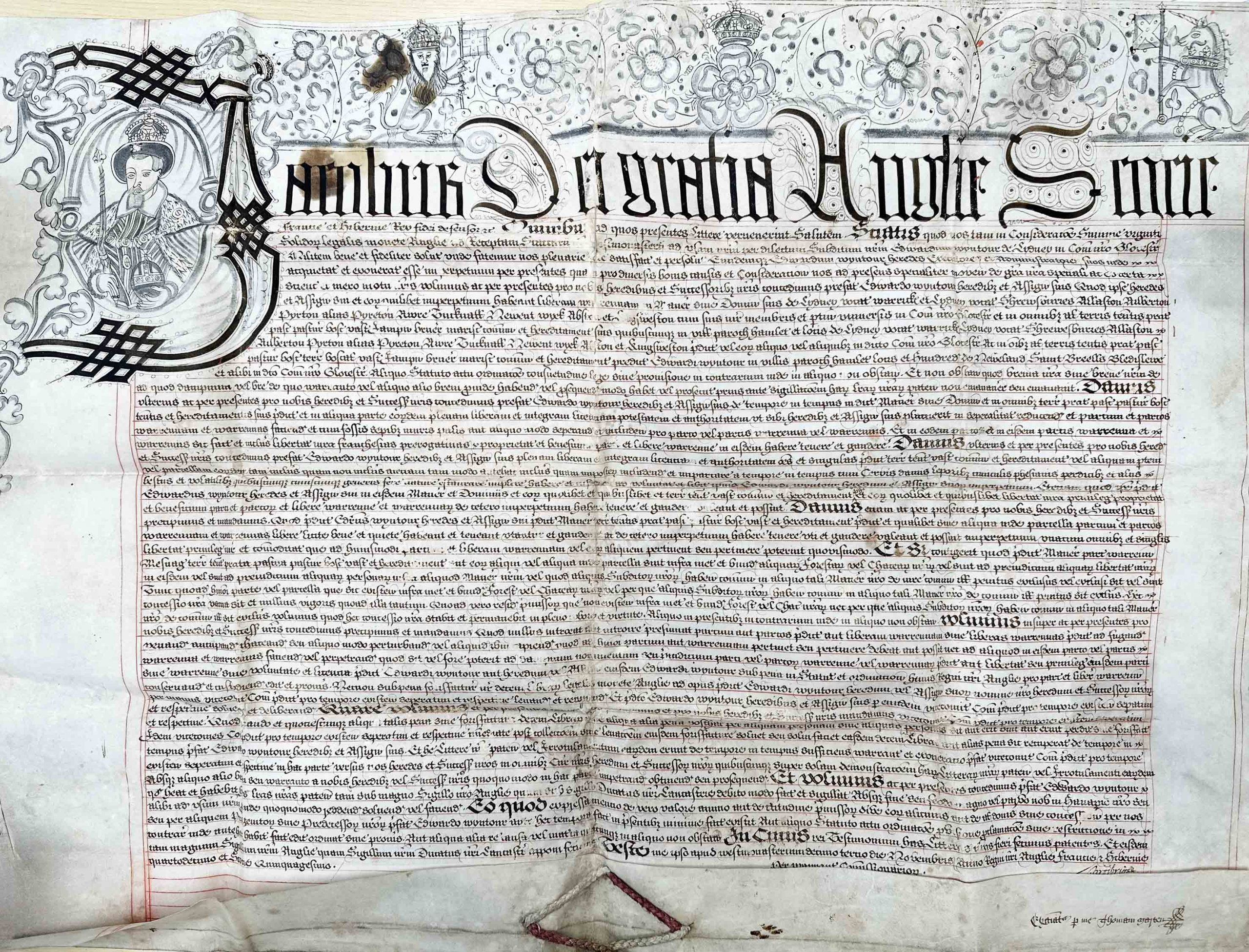
Another significant document held in the Gloucestershire Archives is the charter granted by James I licencing Sir Edward Wyntour the free warren to for his estates. The Wyntour family had purchased Kings Weston in about 1570 and were likely responsible for rebuilding the manor house on an extravagant scale. Kings Weston was just one of many estates they owned on both sides of the Severn. Their principal seat was at Lydney. King James’s charter allowed Wyntour to protect his lands by forming walls and excluding outsiders from interfering with his small game. The warrens were specifically for breeding of rabbits for food and fur and the charter was a much prized royal privilege.
Whilst not a licence to impark the estate or stock it with deer, it does mark the beginning of the enclosure of the land around the mansion for private use. By the time the estate was purchased by Sir Robert Southwell in 1679 it justified the description of a park. Sir Robert’s friend and brother in law, Sir John Perceval, noted “Yesterday my brother and I went to visit Kings Weston, where we found a great deal of very good land, an old house, low built, but very convenient, though at your arrival I believe you will make some alteration therein; many things, especially some of the park wall, will cost you money in the reparation thereof.”