As we’ve already seen from our working party progress report, encroachment of undergrowth is a major issue for the Registered Historic Landscape. Looking at Shirehampton Park as a case study reveals the scale of the issue.
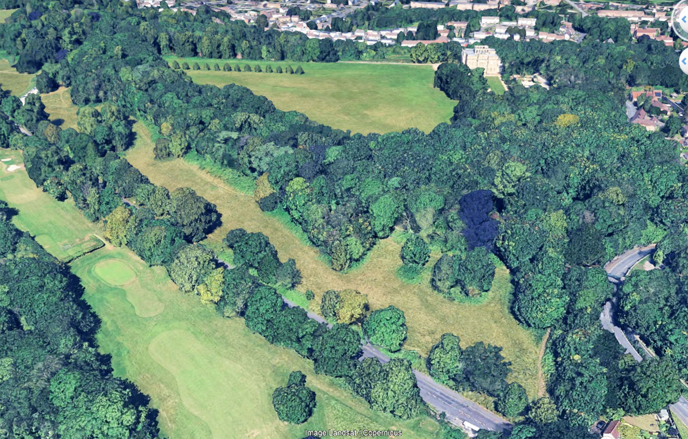
Using both our own record photos across the years, and aerial photos of the area from the last twenty years, the gradual loss of the meadowland can be starkly illustrated, but why does it matter?
As part of the Bioblitz event held at Kings Weston way back in 2012, the richness and diversity of the meadowland was a noted finding. It was described as some of the most important calcareous grasslands in the region, unique in Bristol. As encroachment bites, this exceptional habitat is gradually being replaced by less diverse habitat that already has wide distribution across the estate.
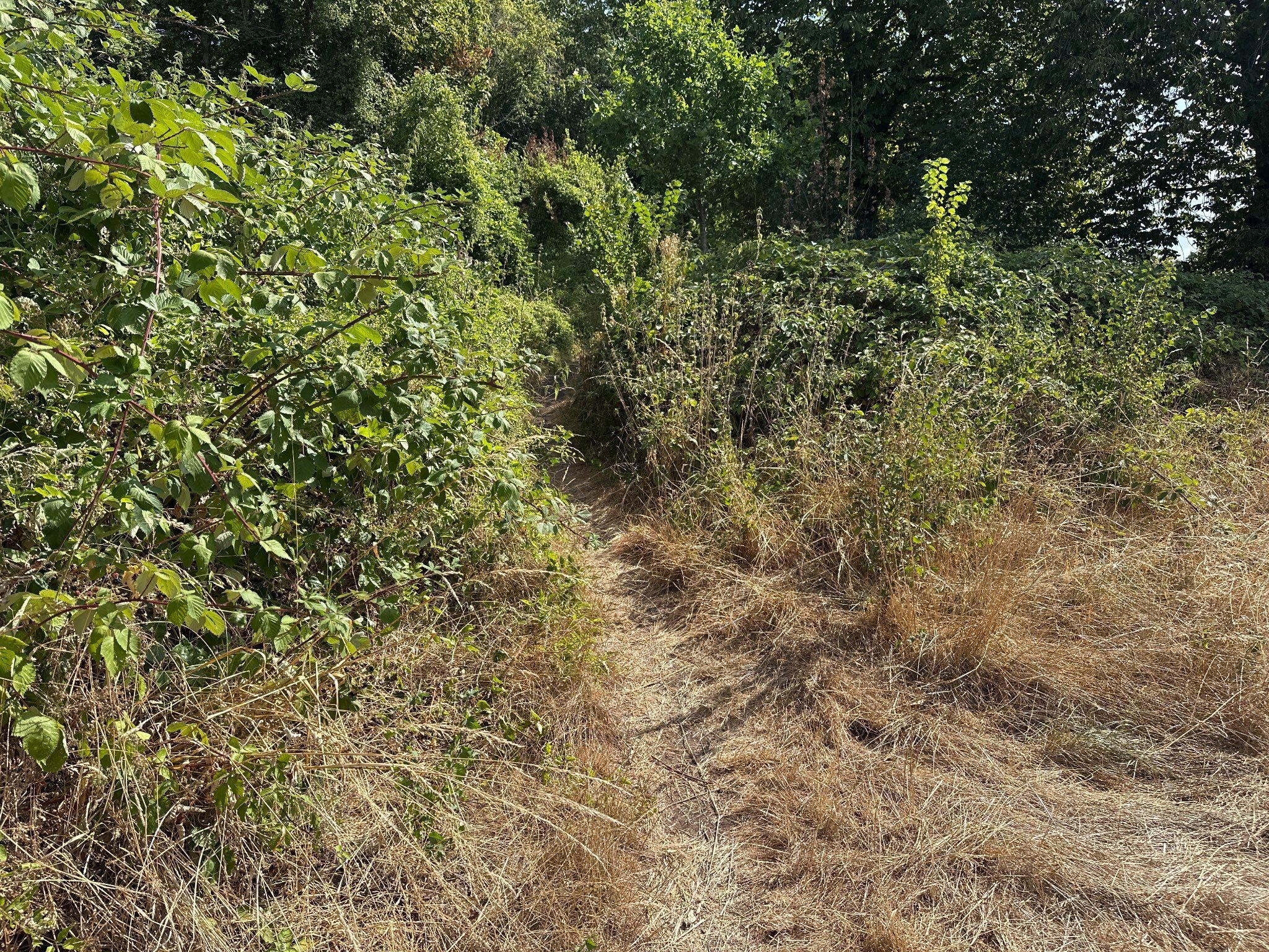
Encroachment occurs incrementally. The land has been managed by the Council with an annual hay-cut for the last twenty years or so. This is now contracted out and has led to poor implementation and little obvious oversight. Every year another few feet around the perimeter of the area is missed. Spaces between groves of trees are left un-cut. Year after year maintaining the meadowland is getting worse and worse.
It can be difficult to appreciate this incremental change. With only one cut a year few people will recall what its condition had been twelve months ago. It’s a slow decay of both the ecological value and the historic landscape.
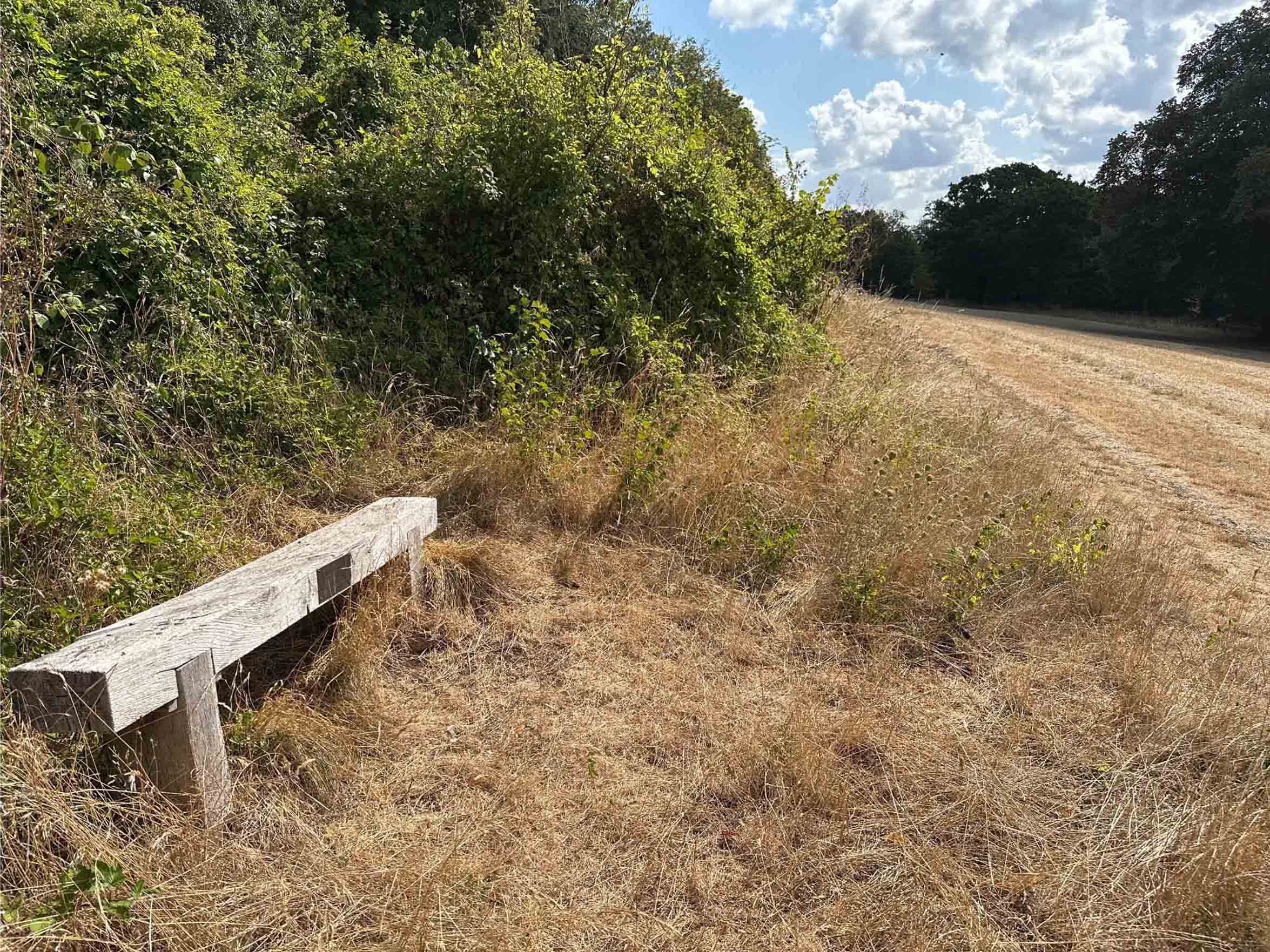
This year has seen a massive spike in brambles (if you’ll excuse the pun), but elm regrowth and other species are also part of the mix. Whilst tackling brambles is something KWAG has done in the past, we don’t have the resources to attack the current engulfment, nor does it fall into our remit to cover regular maintenance issues for which there should already be management in place.
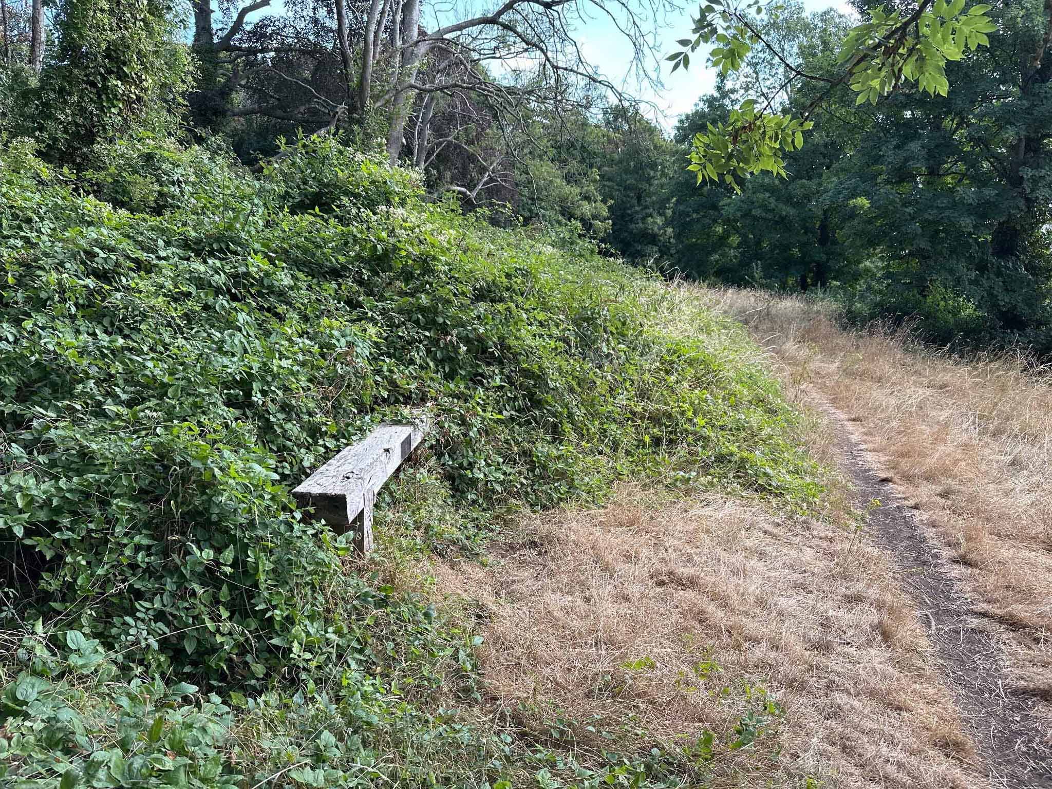
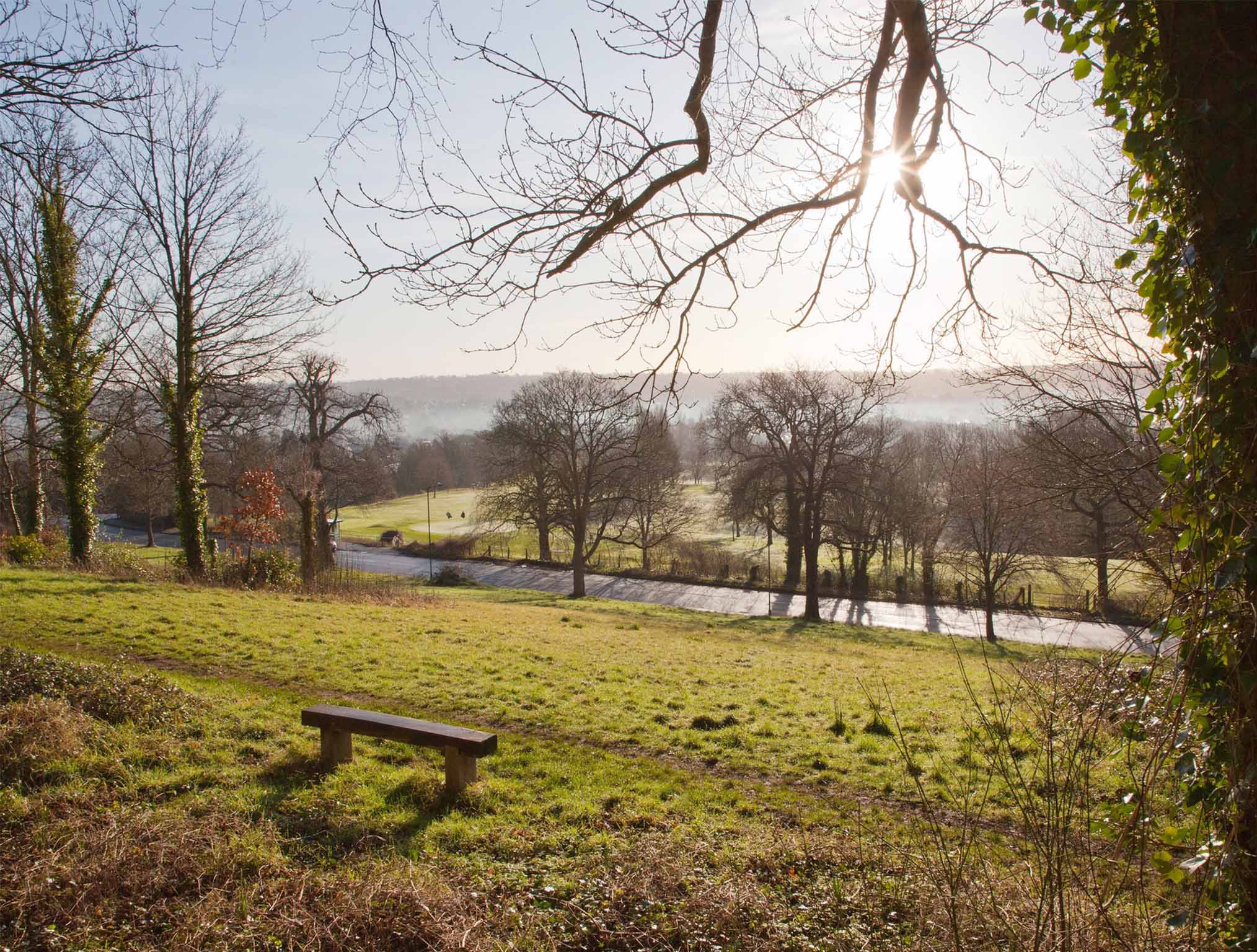
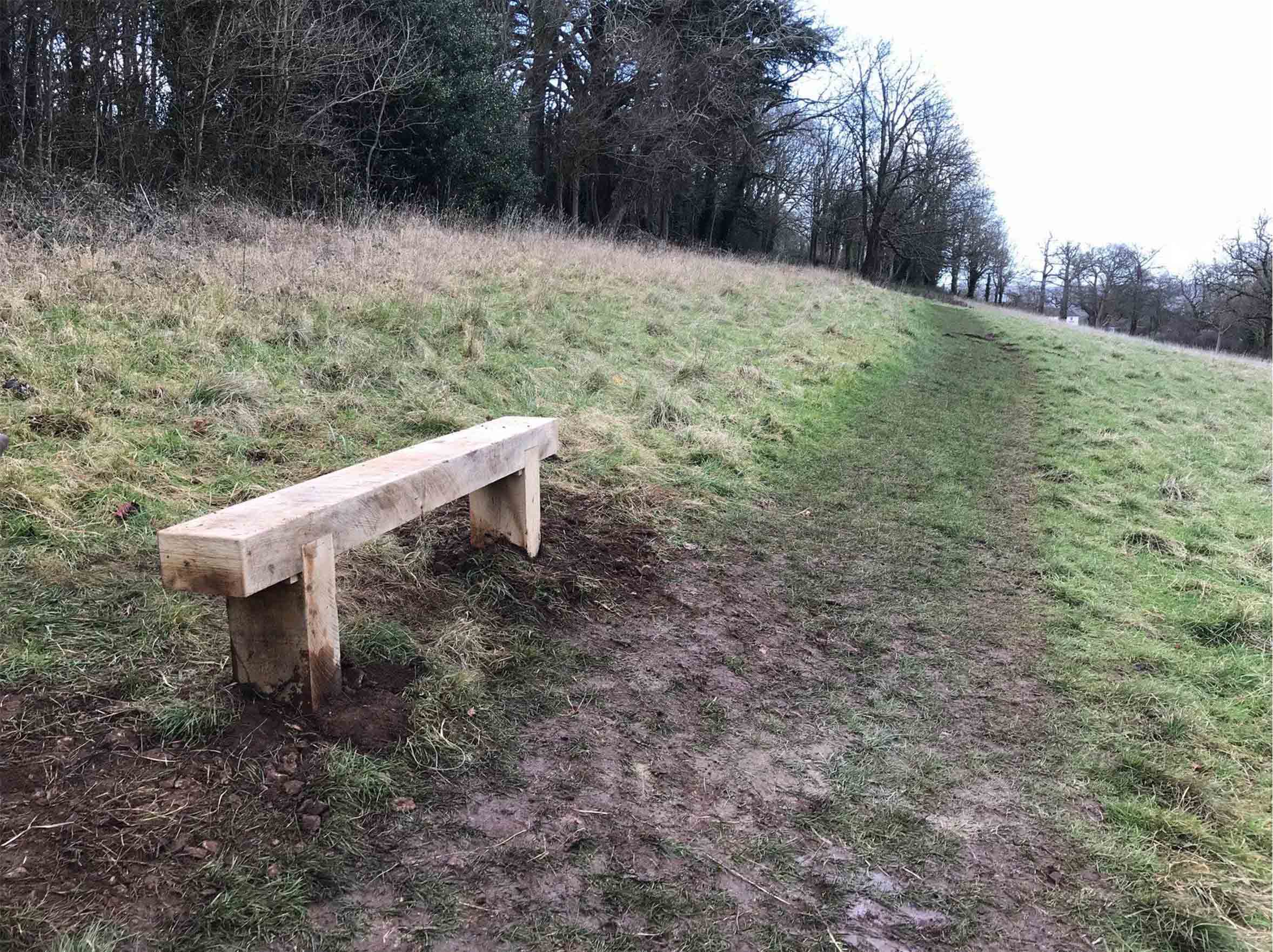
Two benches we installed in 2017 and 2018 are useful markers against which encroachment can be measured. Both were set up immediately adjacent to the Public Right of Way that runs from the Iron Bridge down the ridge to Shirehampton Road car park. Within just eight years, both have gone from being in open meadowland to presently being engulfed by brambles. The footpath that can clearly be seen in front of each bench can be seen pushed downhill by the onslaught of scrub.
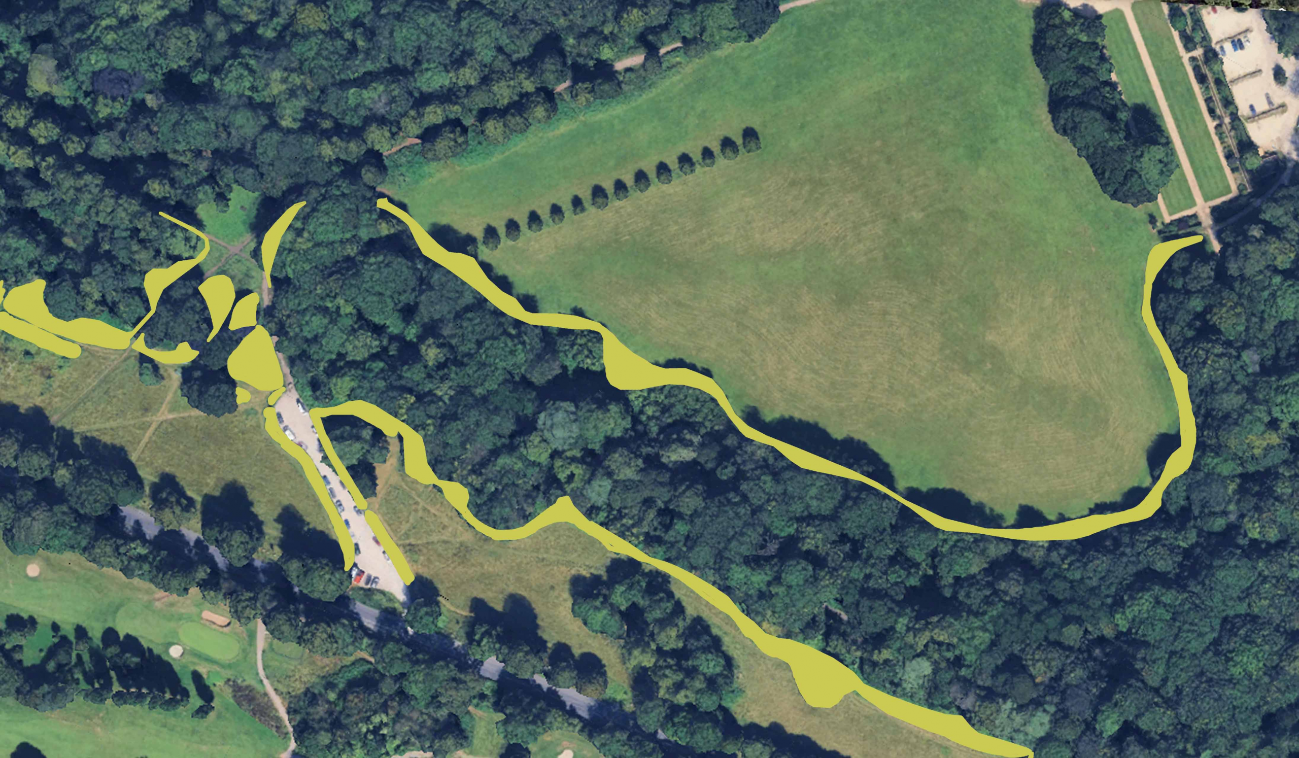
Helpfully, Google Earth has a library of aerial views taken periodically since it was established. These help chart the gradual advance of scrub. Taking past surveys from 2005 and 2006 and comparing them with the most recent aerial survey in 2025, the extent of meadowland loss. In most areas there has been a ribbon of between five and six metres lost to scrub along the top edges of the slope and around outcrops of trees, but in one location undergrowth has come forward more than 20m.
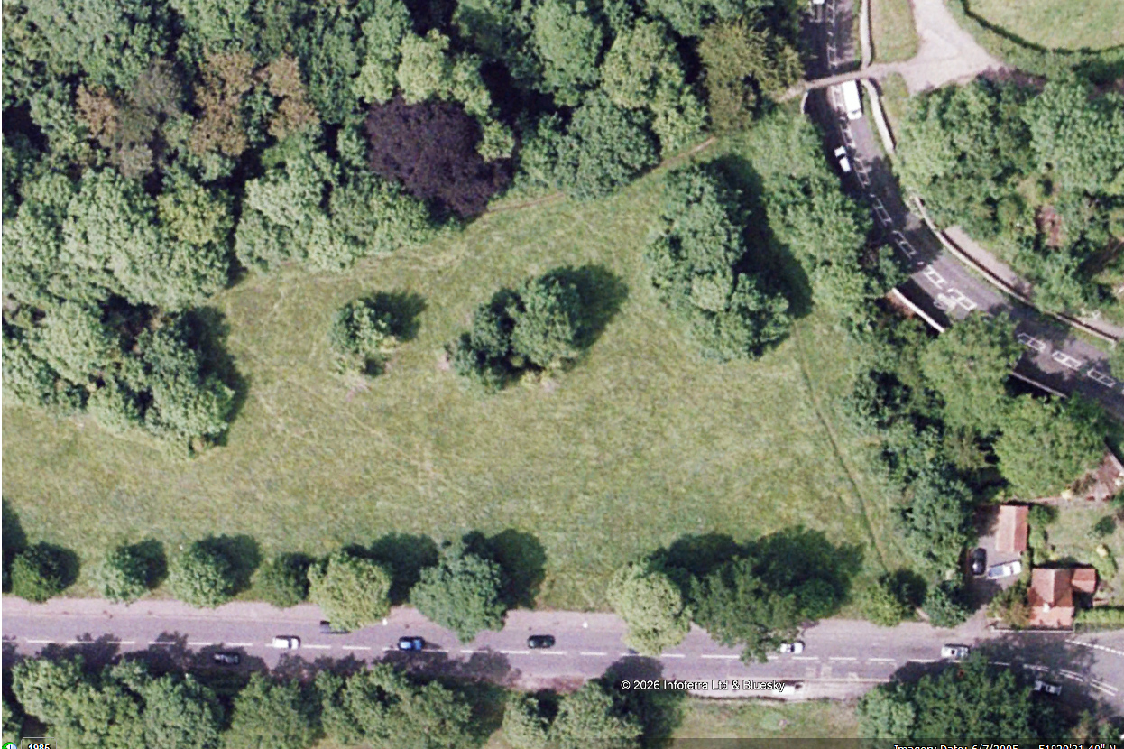
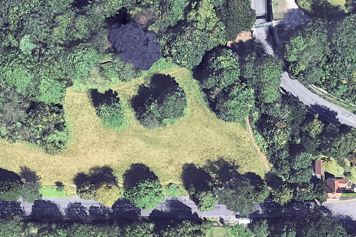
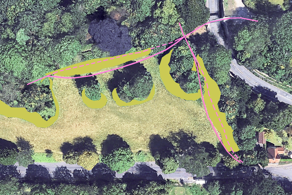
We calculate around 7000 square metres of meadow, or 1.7 acres has been lost from Shirehampton Park alone in the last two decades, most within the last ten years. But the issue is more widespread, with the lawn in front of Kingsweston House, the field below it, Penpole Point, Kingsweston Hill, Napier Miles Fields, the Tump, and event the area in front of The Echo all having their historic character eroded.
Since KWAG was founded in 2011, we’ve been asking repeatedly for the issues of encroachment to be addressed beyond the basic annual hay cut. Occasionally the ancient Lime Avenue will be dealt with, or parts of the field below the house, perhaps the ridges around Shirehampton Road Car Park, but work is reactive, unpredictable, and to no obvious plan. We remain deeply, and increasingly concerned over the declining condition of the estate in this respect.