Category Archives: Uncategorized

Shirehampton Park: A park for the people  

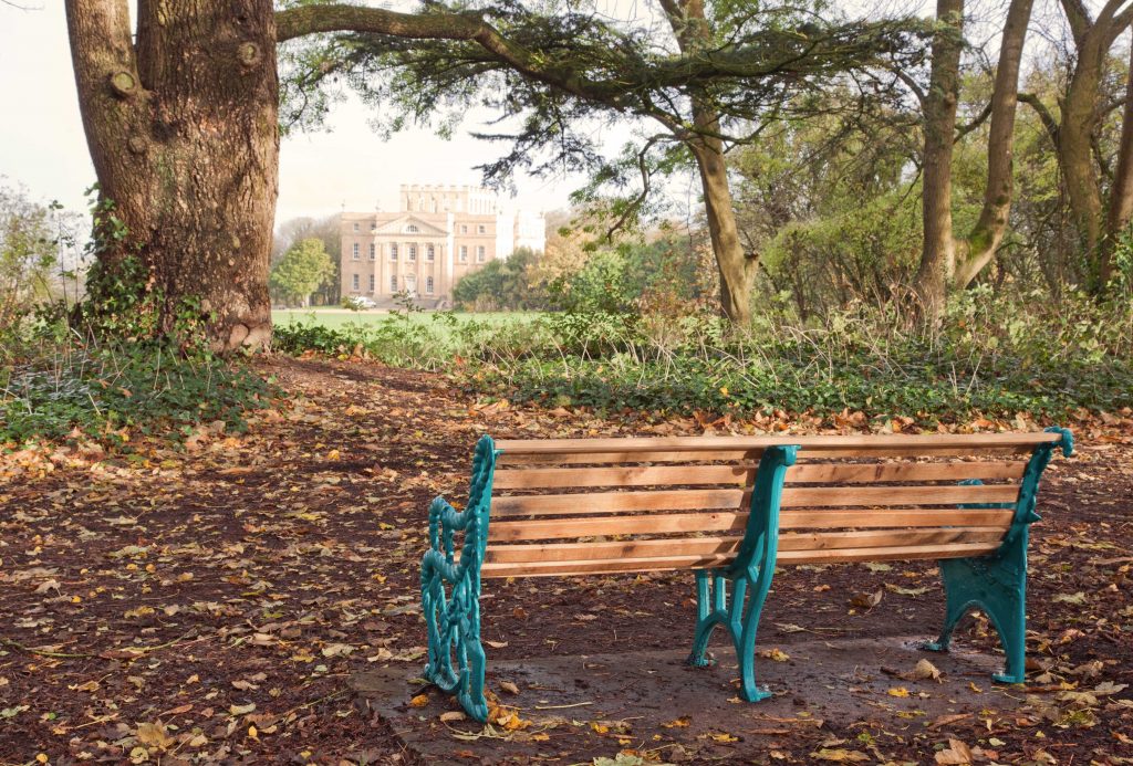
Following from last month’s focus on the garden village connections with Kings Weston, and the genesis of Sea Mills, this month we look at Shirehampton Park. The land between Shirehampton Road and the River Avon had become part of the landscaped parkland around the house in the 1720s, with designed garden features, tree planting, and pleasure buildings dotted around over 100 acres. It’s even thought that at the banks of the Avon there was access directly to the park from the river at Crabtree Slip. The land was grazed by animals, but intended as a picturesque adornment to the wider Kings Weston Estate. This remained the situation even after the Port and Pier Railway was driven through the park in 1865, severing it from the riverside.

Shirehampton Park and the view across Horseshoe Bend. John Syer, circa 1860. Bristol Museum & Art Gallery. 

It was Philip Skinner Miles, owner of Kings Weston, who promoted and financed the building of the railway through his land. Advantage was taken of this new mode of transport when, starting in 1865, Miles began opening the park for an annual horticultural show.  A temporary railway platform was erected alongside the line where special trains would stop for visitors to the show could alight directly for the show ground in the “beech avenue” in Longcombe, a hidden hollow in the heart of Shirehampton Park.

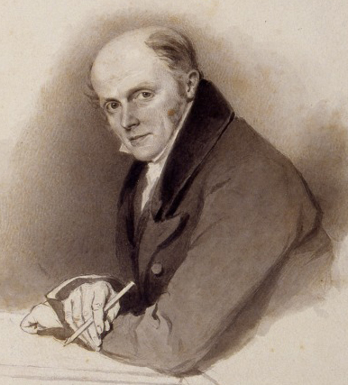
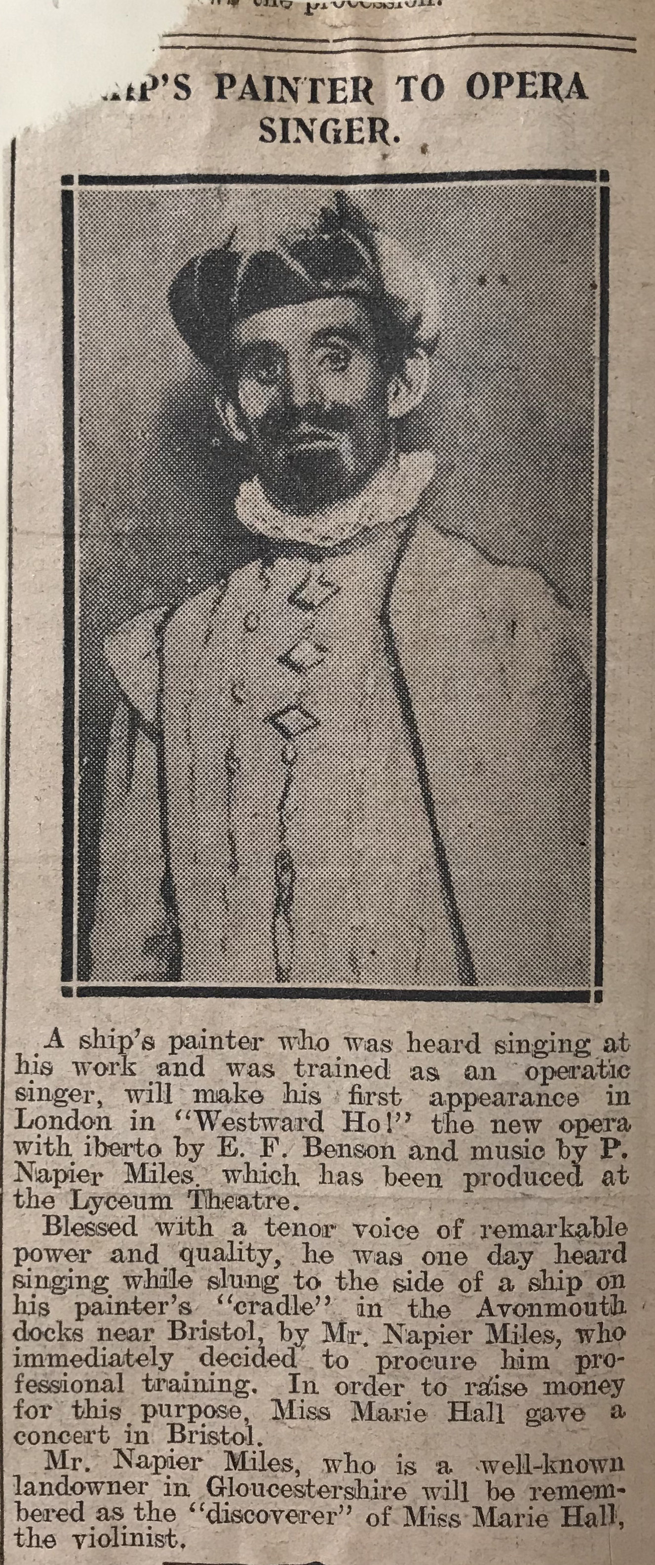
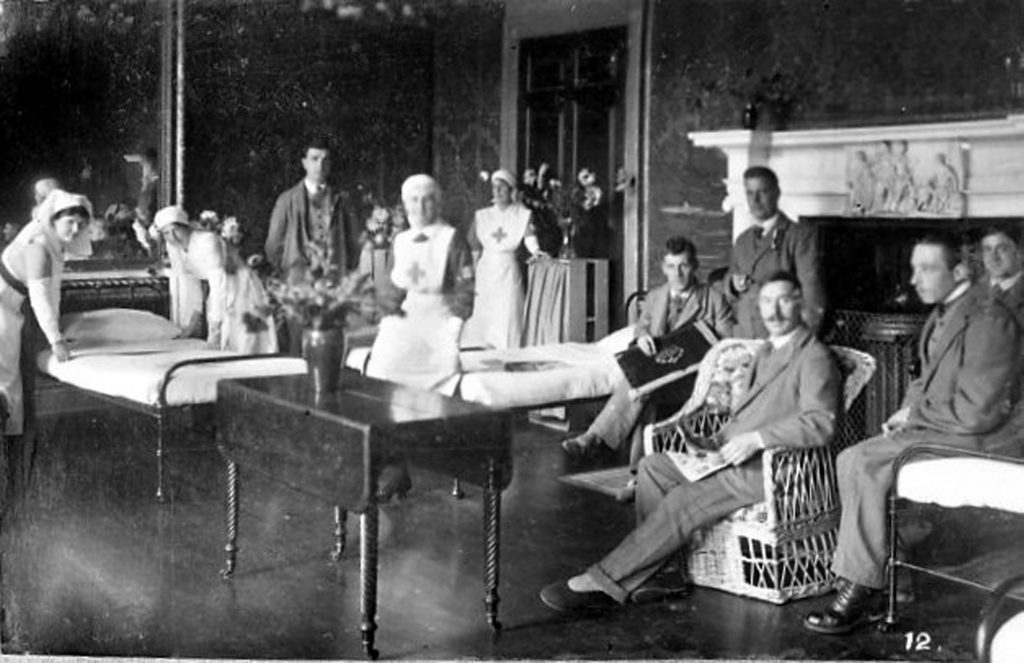
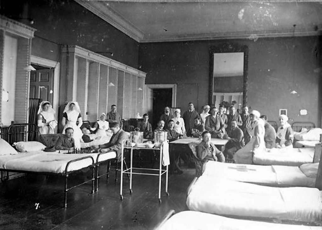
Little changed until the Twentieth Century when Skinner Miles’ son, Philip Napier Miles leased land on in the park to the newly formed Shirehampton Golf Club. The club was formed in 1904 with nine holes, and, following its success, expanded quickly to a full eighteen. Napier Miles was happy to allow the recreational use of the park, but only formally joined the golf club in 1910, and almost immediately was elected club president for the next ten years.  

The Shirehampton Park golf club house shortly after it was first built.
Surveyors in Shirehampton Park circa 1918 ahead of the Portway construction.

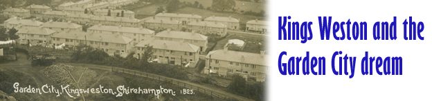
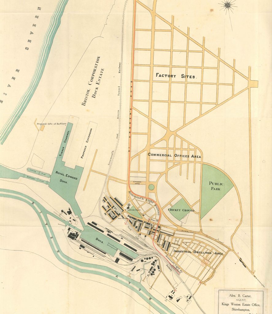
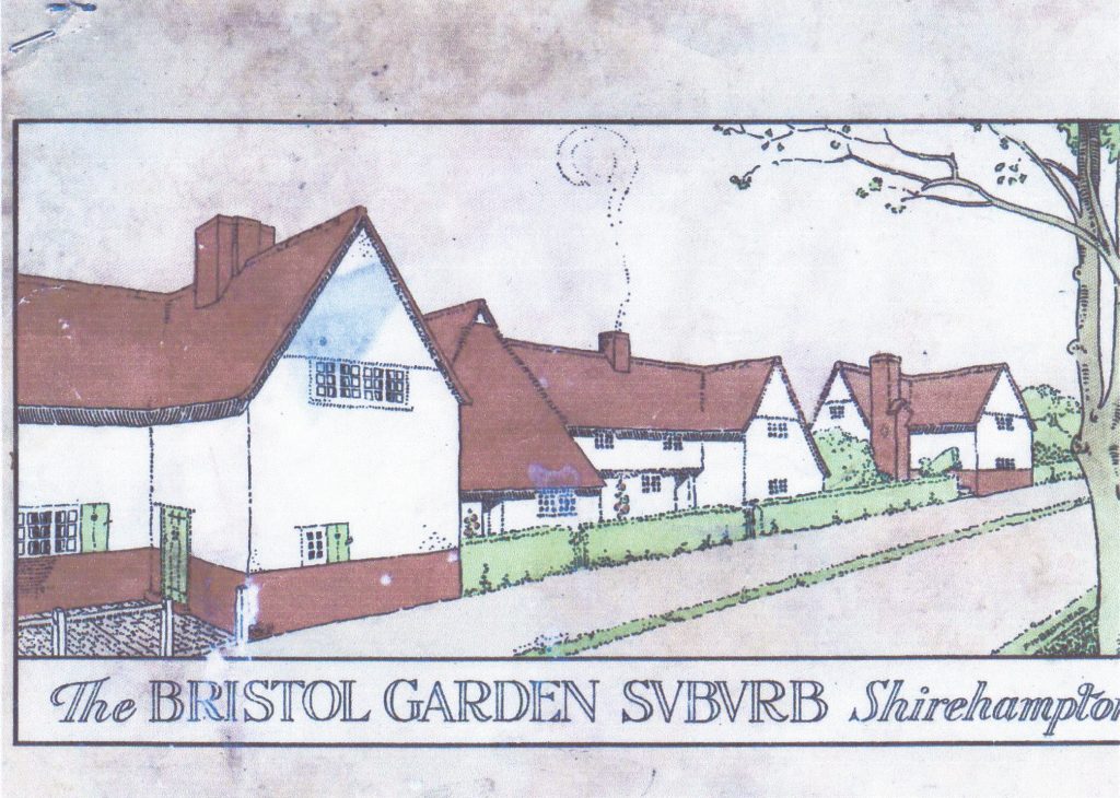
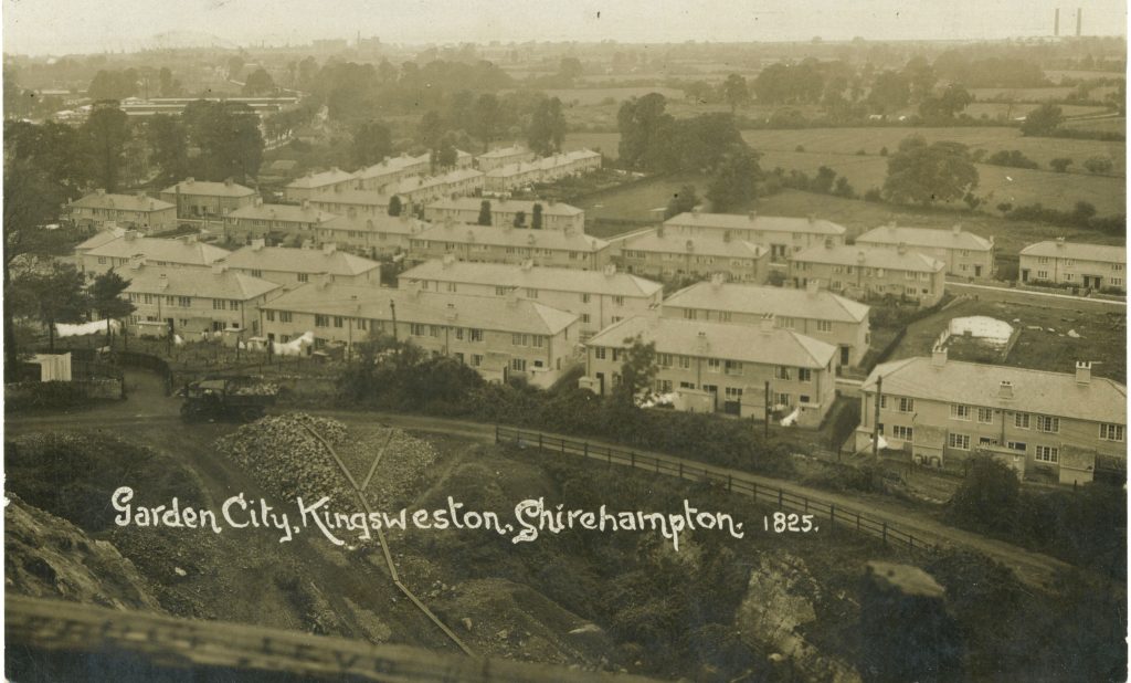
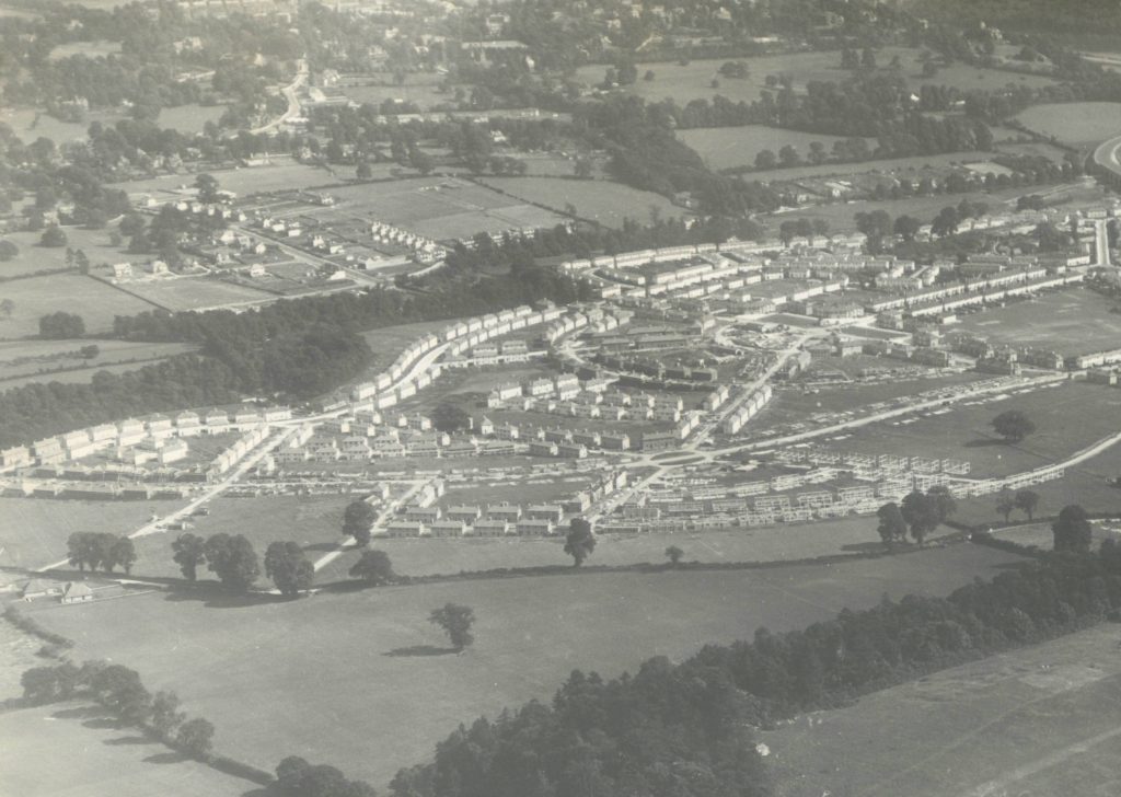
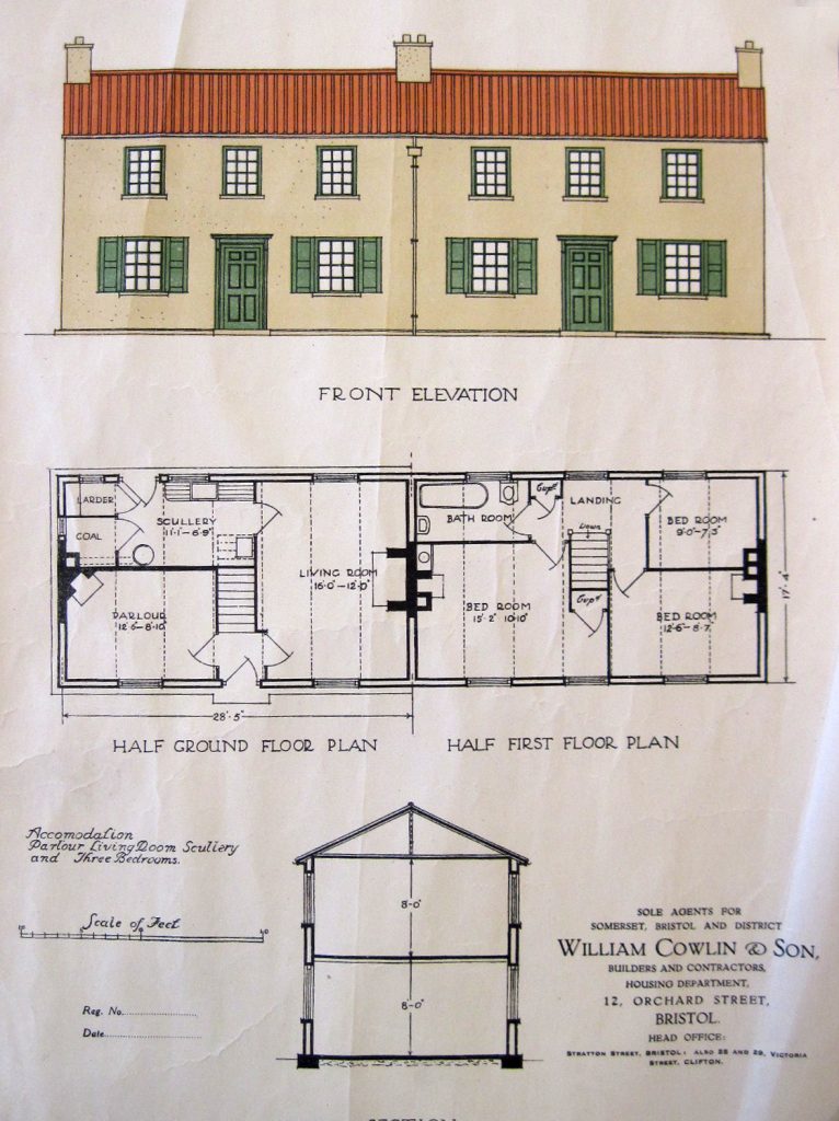
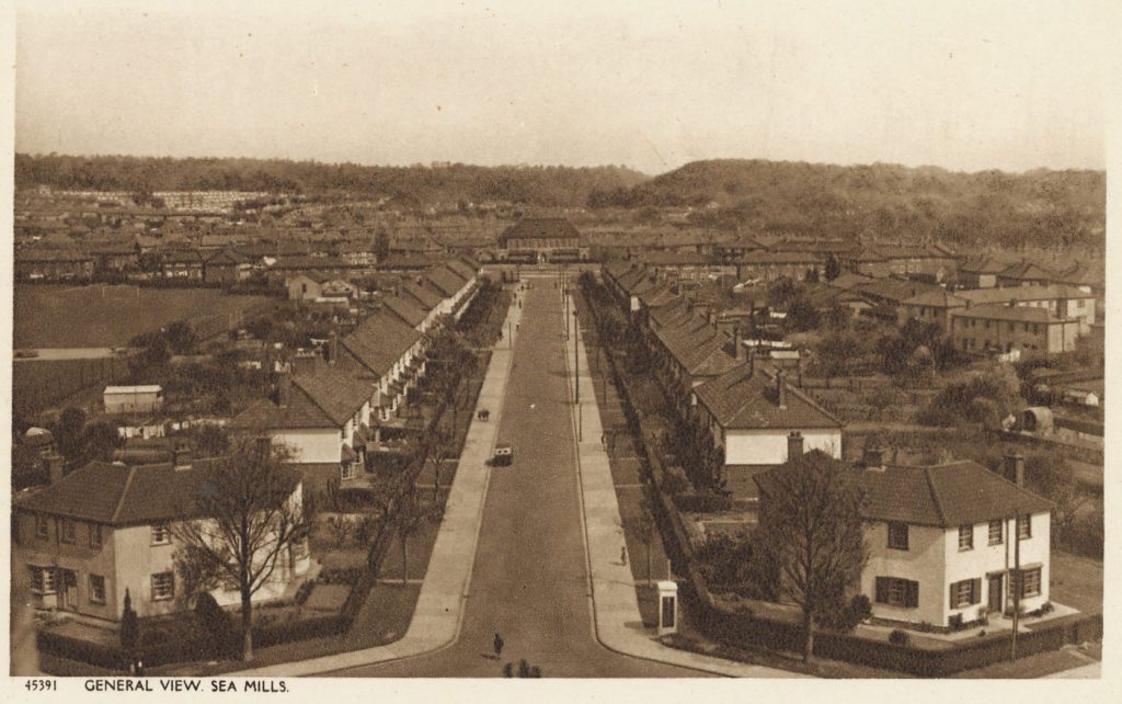
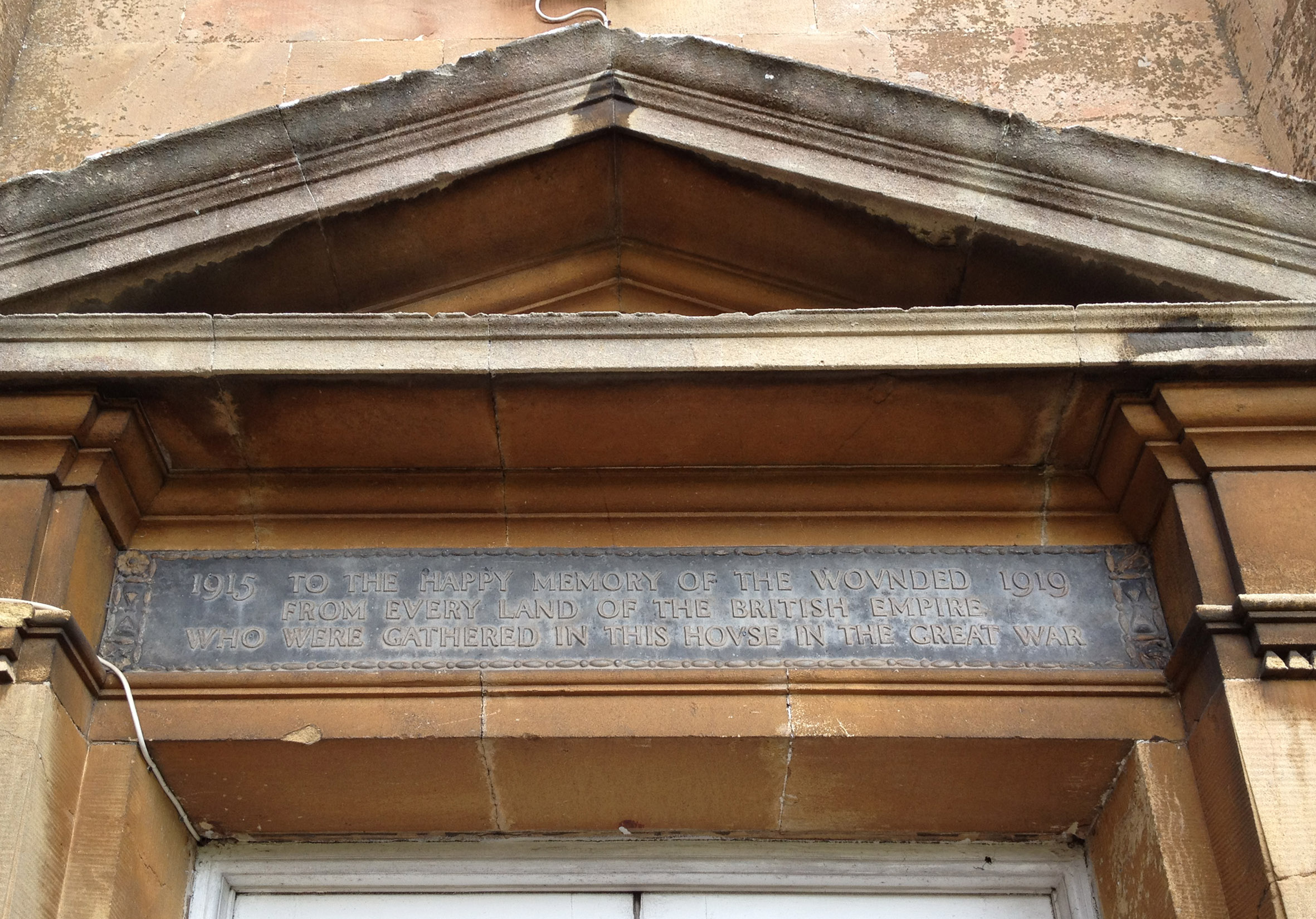
Sea Mills garden suburb was projected from 1918 on Miles’ land.  Keen to support this model housing estate he sold his land to the Corporation at a reduced rate. As well as ensuring oversight of the quality and conditions of the new housing, he wanted to ensure that open green space and opportunities for recreation were accessible to the new residents. He made the decision to donate Shirehampton Park for the enjoyment of residents of Shirehampton and the new estate, though initially he appears to have been uncertain whether the best course of action was to pass the land to the Corporation, no doubt with covenants, or to the new National Trust established just eleven years previously. By July 1918 the Western Daily Press was able to announce that Napier Miles intended to hand to the National Trust a “considerable portion of Shirehampton Park having a frontage of about three quarters of a mile to the river, as a public park for the people of Bristol”.

There then followed a lengthy delay, of more than four years! It’ not immediately clear why this was, but it may have been connected with the driving of the Portway through the area and the substantial parts of Shirehampton Park that were required to enable this. The new road was cut deeply into the rock close to the railway, and the difficulty and cost of the works made a significant contribution to the road becoming the most expensive per-mile in the UK. Work had begun in 1919; it was a difficult undertaking, opening eventually in 1926 after repeated delays.

The cutting being driven through Shirehampton Park for the Portway. Samuel Loxton. 1920. 

Fortunately for the people of Shirehampton and Sea Mills the delay in getting their park was less severe. Residents had begun moving into the new garden suburb in 1920, but it wasn’t until December 1922 that the Indenture gifting Shirehampton Park to the National Trust was signed. In it Napier Miles laid out clear conditions on his 98 acre gift; he ensured that the land was protected “as an open space for the benefit of the people of Shirehampton and the neighbourhood”; also that “golf shall be permitted to be played” subject to the continued enjoyment of the park by the public; and that no buildings were allowed to be erected “except such pavilions, bandstands, shelters, cloakrooms, lavatories” that the National Trust considered “conducive to the better enjoyment of the said park by those frequenting it”. With this condition it is implied that Napier Miles hoped that the land might fulfil a partial role as a municipal park as well as a golf course.

A printed Edwardian postcard showing Longcombe and “golf links” 

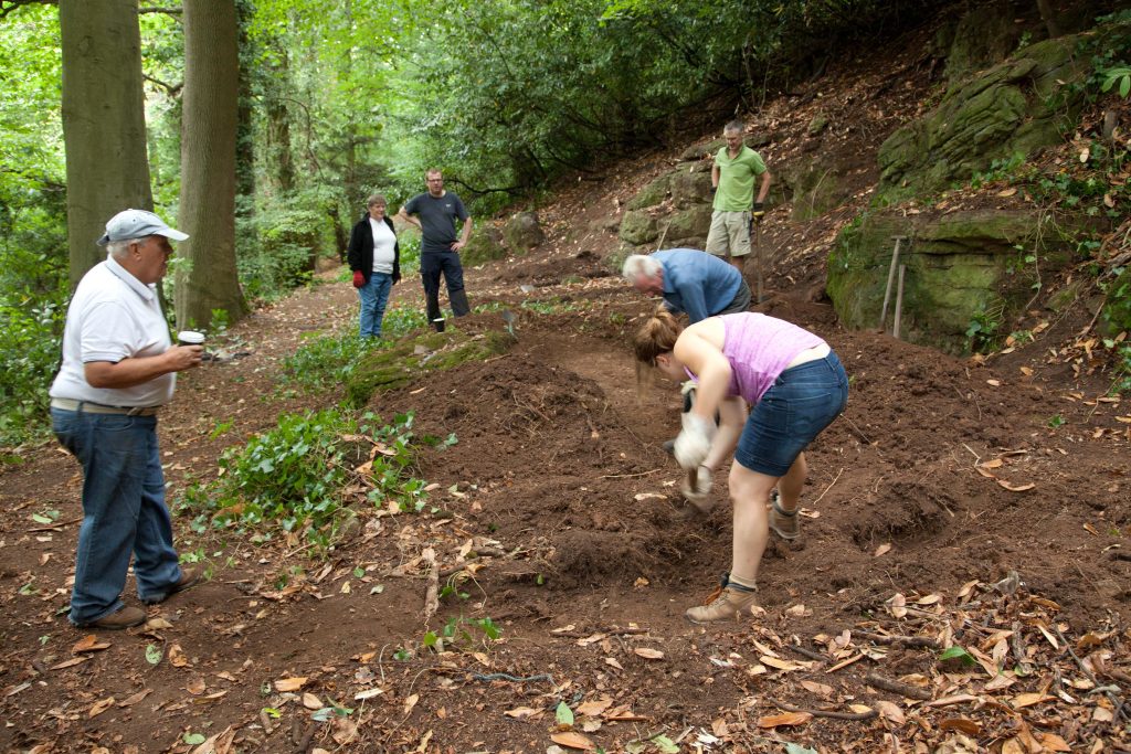
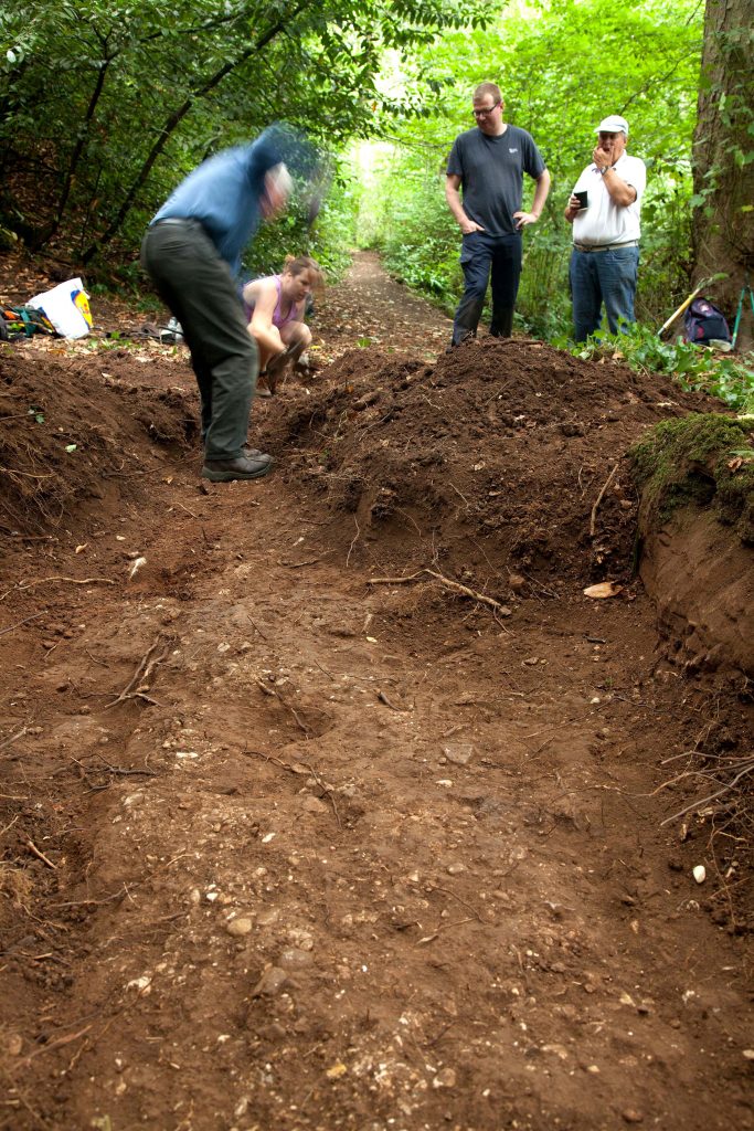
Whilst the land continues as cherished open space the golf course use has the effect of marginalising the  access Napier Miles might have envisaged in his gift. There remain public rights of way across the land for those that can find them, though paths are poorly marked and there is occasional conflict between sports and recreational use. It does continue under the ownership of the National Trust though, and Crabtree Slip wood is a rich natural woodland. Sea Mills also enjoys the gift of Three Acre Covert nearby, also forming a gift of green space from Napier Miles

Kings Weston and the Garden City dream


Philip Napier Miles in the dining room, now the Canaletto Room, at Kings Weston house

This year Sea Mills estate celebrates its Centenary. The new suburb was built on land owned by Philip Napier Miles, and, although not his project, saw the realisation of a long-held ambition to create a garden village.

It’s not clear what first inspired PN Miles to dream of developing his lands on along the revolutionary  principles of the Garden City Movement, but he was an early adopter. Perhaps he’d read Sir Ebenezer Howard’s ‘To-morrow: a Peaceful Path to Real Reform’ that set out the ideology of uniting the benefits of open green space with new urbanization and industry.  If he read it in its first year of publication, in 1898, he was quick to respond as  the architectural character of housing around Avonmouth changed almost overnight, from traditional Victorian terraces, to new model housing in the Arts and Crafts style still found along Green Lane.


Green Lane, Avonmouth. Designed 1898 and seen here in about 1910

The 1903 plan to turn Napier Miles’ estate around Avonmouth into a new Garden City

The idea quickly expanded and in March 1903 Miles published his grandiose plans for developing thousands of acres of land around Avonmouth along Garden City ideals. This was the same year as the foundation of Letchworth Garden City, the first realised town plan using the same principles, and the architecture around Avonmouth is still strongly reminiscent of the more famous settlement.

Although heavily marketed the Avonmouth city project never really gained traction. Investors were reluctant to commit to a damp, wet, floodplain that was only poorly connected to the city centre of Bristol. However the wide streets, and elaborate Edwardian architecture suggest at the aspirations Miles had.

Even as Avomouth was undergoing tentative development another opportunity arose for Miles to achieve his ambition; that being the Bristol Garden Suburb Ltd. Miles was approached in 1909 by promoters of a smaller scale development inspired by the garden-city principles that would provide pioneering artisan and workers housing with high quality living conditions and generous gardens front and back. Miles sold a portion of his estate off Station Road in Shirehampton at extremely reduced cost to see if the experiment would succeed, and gave the option to acquire more land if it was a success. The project was realised and although only 44 houses had been built by 1913 it remained incomplete. Today the garden village can best be seen around Passage Leaze where it has been surrounded with later council estate development that muddies its real significance.


Houses on Springfield Avenue from the Bristol Garden Suburb Ltd prospectus. 

Miles remained committed to developing a much larger garden suburb on his own terms and, in 1918 a new plan was formed to develop 350 acres of the Kings Weston estate below Penpole Wood and where Lawrence Weston is today; 60 acres of this were scheduled to be open green space. A 1919 newspaper report describes the visit of the Garden Cities and Town Planning Association when Miles took the opportunity to describe his plans and the progress then being made on them. The first public building was to be a Trades Hall for the use of trade unionists, new education facilities, communal laundries, baths, swimming pools a main avenue of two miles in length, and a shopping centre were to incorporate elements of the landscaped parkland below Kings Weston house.

Sadly there aren’t any surviving plans for Miles’s ambitious scheme, but part of it was realised in the form of about 100 houses below Penpole Point, around Bean Acre and the western ends of Old Quarry Road and Kings Weston Aveunue; the latter being the commencement of the 2-mile long avenue planned. The works were undertaken by the Ministry of Munitions and it appears that Miles had limited control of the appearance of their work driven by the wartime need to supply workers housing for the Government zinc smelting works and the Mustard Gas factory at Chittening.


Kingsweston Garden Village seen from Penpole Point Above. Note the quarry that was brought back into use for the construction.

It’s not known why the Kings Weston Garden City faltered after such grand plans, especially following the 1919 Housing and Town Planning Act, promoted by politician and doctor Christopher Addison, gave Local Authorities the power and money to act to help resolve a chronic housing shortage. Instead Bristol Corporation focussed attention on another large tract of Miles’s estate: Sea Mills. Miles bought into the idea and he happily negotiated with the Council to sell the 205 Acres of land required, but with three clear provisos that ensured he retained considerable control of the design. These were: 1. “that no part of the said lands…shall be used for any purpose other than that of a Garden Suburb”; 2. that the density “shall amount on an average to not less than 8 and not more than 12 per acre; 3. “that the said lands…shall be laid out and built upon in accordance with a scheme which shall be previously prepared in consultation with the Surveyor and Architect employed by the Vendor”.     


 Sea Mills Garden Suburb during construction in the 1920s looking southwards with Kingsweston Hill in the right-foreground. 

One of the house types that Philip Napier Miles was required to approve the design of.

In June 1919 the architect of the social reforms that had enabled the foundation of Sea Mills, Christopher  Addison himself, cut the first sod on Sea Mills Square and symbolically planted the ‘Addison’s Oak’. The plans closely followed the Garden City principles, applied to a suburb, ensuring generous green spaces, civic, educational and social buildings planned as a unified and integrated whole. Miles further augmented the new suburb with the gift of open spaces, and the donation of Shirehampton Park to the National Trust for the enjoyment and recreation of the new residents.  

In this Centenary year for Sea Mills it should not be underestimated the vision of men and women to provide humane, healthy, and dignified for their fellows. Amongst those people we should remember Philip Napier Miles and his devotion to the Garden City ideals; Sea Mills Garden Suburb must have given him pleasure as the most complete realisation of the dream he harboured for two decades.


A view looking up St Edith’s Rd from the church of the same name, and towards the central square of Sea Mills.

The Centenary of Sea Mills is being celebrated by the Sea Mills 100 project with a series of events throughout the year, and the launch of a micro museum in a restored telephone box in the village centre. More information can be found here.  For more information on Sea Mills suburb the Conservation Area Statement provides more detail. 

New paintings come to light

Two items of Kings Weston interest recently appeared in auction in Gloucestershire. Two paintings, both dating to the 1840s went under the hammer on the 7th. The first was a small and somewhat naive depiction of Penpole Point in oil. This small painting was unsigned and a little mangled. The view included Penpole Lodge and the dial further along the ridge, but all concertinaed into a compressed space with some alarming perspective at play! It was also odd in showing the dial raised on a mound, perhaps for artistic effect as we know it never had this pronounced feature.  The painting shows some of the many visitors who came to Penpole Point to take in the views; one even holds a telescope to out on the  early steamships plying their trade on the Severn.   

Oil painting showing the view from Penpole Point. Penpole Lodge is on the right.

The other painting is a large watercolour depicting the staircase in Kings Weston house by Thomas Leeson Rowbotham and is of historic as well as aesthetic interest. Rowbotham (1782-1853) was born in Bath in 1782 where he worked as a teacher of painting. He lived in Bristol from about 1825-35, where he made many drawings for G. W. Braikenridge who famously commissioned hundreds of paintings documenting the old city of Bristol in incredible detail. Over 400 of Rowbothom’s paintings form part of the museum’s Braikenridge collection. Rowbothom must have impressed the Miles family, owners of Kings Weston from 1835, as he was commissioned to paint the interior of both his mansions: Leigh Court and Kings Weston. A painting of the Drawing Room at Leigh Court is in the Bristol Museum collections.

Rowbothom’s June 1848 view of the newly finished stair hall in Kings Weston house.
Thomas Leeson Rowbotham, 1782 – 1853

The Kings Weston painting is dated, June 1848, and this too is significant. After the death in 1845 of his father, Philip John Miles, his son, Philip William Skinner Miles decided to use his inheritance to refurbish Kings Weston as his new family home. Part of his works were to demolish  the ancient arcades that filled the stair hall of the house and open up the space with wide galleries and a new top-lit ceiling. The centrepiece of the space was to remain the original staircase designed by Sir John Vanbrugh and installed by 1716. This work began in 1846 and concluded with a ceremonial dinner for the labourers on August 21st 1847; this was held in the George in Shirehampton and not in the house itself!  

Skinner Miles appears to have commissioned Rowbothom to record the brand new interior he has just created. Everything looks neat with only a few belongings having yet been set up and paintings and furniture that later occupied the space not yet installed. The gas lamps fitted to the stair newels are feature now missing, but the scene is little changed today from Rowbothom’s meticulous depiction of the newly finished hall.   

Fall and Rise of Kings Weston stables

The stables in derelict condition in 1958

Last month we brought you some First World War images from the archives of Avon and Somerset Constabulary, but there are many other interesting finds in their collection.  This month we reveal some alarming images of the Georgian stables on Napier Miles Road. The stables were built in the  late 1760s by the architect Robert Mylne shortly after his return from study in Rome. It was perhaps here that he had come into contact with the young Edward Southwell III of Kings Weston who would give him this prize commission before allowing him free-reign in remodelling the interiors of the house itself. 

The stables and carriage houses continued to perform their original function until 1935 when the last private owner of the house, Philip Napier Miles died. His widow retained the walled gardens, where she built a new house for herself, and the stables, but the latter structures fared badly during the Second World War when they were used as billets for British soldiers employed in the house. 

The central arch with the wings dismantled and waiting for rebuildings

By 1952 the building was ruinous, its roofs collapsing, and under threat of demolition. It was only through the efforts of local conservationists and the strong advocacy of Lord Methuen that the City Council conceded to keep the building and rebuild it as a new police station to serve the fast-growing Lawrence Weston estate below.  What has not been clear until now was the extremes that the ‘restoration’  had gone to in rebuilding the structure for this new use. 

The stables in the process of being reconstructed, seen from the north, behind the building as it stands today.

These photos show how much of structure was dismantled before being put back together. Remarkably only the central arch and the end facades of the two wings to the road appear to be the only elements that survived unscathed. The whole of the rest of the building has been taken down and, presumably, the most important masonry carefully numbered for later restoration. 

The facade of the west wing, facing onto Napier Miles Road, propped precariously during the “restoration”

The building was formerly opened as a police station in May 1962 by the Lord Mayor, local MPs and numerous local dignitaries. Lord Methuen also attended and expressed his complements to the City Corporation on the vision and foresight they had shown in putting the buildings to their new use. He said” I remember when nothing seemed to move anyone to preserve the place and that is why I am so pleased to be present among those who saw the possibilities of not only retaining the buildings, but putting them to such a practical use” . He continued that in most places these days there was a curious view that one should regard historic places on the basis of whether or not they could bring an income, but here was a refreshing change. He hoped Bristol would now consider preserving some more of her architectural heritage for posterity.    

Kings Weston stables police station
The opening of Kings Weston Stables as Lawrence Weston police station on May 30th, 1962

Penpole Lane saved!

Some of you will already have heard this good news through our Facebook page, but we are delighted to hear that all of our worries over the use of the land around the Karakal warehouse on Penpole lane have just evaporated in time for Christmas. 

Keith Sawyer of Karakal wrote to us and confirmed that he has just managed to exchange contracts, with Matthew Webb, whose family have owned the site for about thirty years, and now owns the area of land around the Karakal industrial unit. The planning appeal for shipping containers has since been withdrawn, and YardArts will be unable to move onto the site; Keith has confirmed this to us and we join in him in his celebration and relief that the whole plot is in his hands. Karakal have only ever had rights of access and parking on the land around their unit since 1987 and, although they have always been keen to, have never been able to agree on a realistic price for the land with its owner.

Yardarts at Kingswood 

They have shared our exasperation over many of the planning applications over the last few years that would have impacted on their business. We’ve been in contact with Mr Sawyer for a while and we are reassured that he has no plans to expand Karakal and that the land is now in safe hands. Naturally we were unaware of negotiations while they were happening, but we are incredibly grateful for Keith having emailed us just 10 mins after the exchange to let us know! 

It will be great to be able to direct our time and effort towards more constructive projects in the coming year rather than dealing with the planning problems we’ve been reporting on since 2011! We hope you will join us in celebrating this news!.  

Finally a BIG thank you to everyone who has supported us in objecting to the planning applications on this site; It’s been frustrating and draining, but all of your letters of objection have made a difference and have fended off development . We couldn’t keep going without your help and support!

The development as it might have ended up

Mystery of the Avonmouth Opera Singer

In 1913, Philip Napier Miles of Kings Weston house, premiered his first opera, Westward Ho! in the West End. Napier Miles was a well-known amateur composer and promoted music and singing in the local area and across Bristol as a whole. The notable violinist Marie Hall had been one of his most celebrated discoveries, but the gentleman shown here is more of an enigma.


This newspaper report  from the Daily Graphic describes a ships painter from Avonmouth who was raised to West End opera singer by Napier Miles, but fails to name him!  Does anyone know his name, or anything more about this story?

Discovery of WWI Images

The west end of the Vanbrugh Room with sheets hung up over the library shelves

In poignantly timely discovery, days before the centenary of Armistice Day, we found a series of photographs of Kings Weston dating to the First World War. We’ve previously shared photos of the outside of the house during its time as an Auxiliary Hospital caring for the wounded sent back from the front; this new series of images shows the grand state rooms reutilised as hospital wards.

The ante-room, now the Breakfast Room has changed remarkably little. The wounded and nurses relax for the photographer.

The interiors are shown emptied of their ornamental furniture and paintings and laid out with beds for soldiers. The Vanbrugh Room, “breakfast room”,and Drawing Room (now the oak room) are all seen in duty as wards, where Red Cross nurses tend to their patients. The largest of the wards, now the Vanbrugh Room is seen with empty  bookcases and around sixteen simple iron beds. All the images show small groups of wounded servicemen surrounded by the volunteer Red Cross nurses who tended to them. Surprisingly the rooms are adorned with numerous vases of flowers.

The Drawing Room before the marble fireplace was removed and the windows in the main front re-opened. Notice the quantities of cut flowers. 


Some of the photos are numbered and we’d be keen to find the rest. If anyone knows where these originally came from we’d be keen to find out, and we’re trying to speak to the Avon and Somerset Constabulary archives from where the images first came.


We’ve also collated the known records of Red Cross nurses who worked at the house from the national database of First World War volunteers which can be found in thisPDF. Many were local ladies who wanted to make their contribution to the war effort, including three members of the Moore family from Penlea in Shirehampton. It’s likely that some of these nurses are those who appear in  rediscovered photos.

The Vanbrugh Room looking towards the wall that now features the mural. A group shot showing patients and nurses posing for the camera.

New arrival on the South Walk

Recent visitors to Kings Weston cannot have missed the appearance of a new cast iron bench on the South Walk;It’s almost luminous colour was something of  surprise when it was installed as part of the closing project of the Forgotten Landscape project.KWAG have worked with Forgotten Landscape and their artist, Deborah Aguirre Jones, on the design and the location for this bench, one of several installed at special locations in the area.

The arm & anchor of the Miles Family of Kings Weston house incorporated into the design of the new bench on the South Walk
The east end of the bench looking down the path

The design of the bench ends is different at either end; on the west side the arm and anchor motif is the arms of the Miles family who lived at Kings Weston house between 1834 and 1936 and developed the docks and Avonmouth. On the east side the natural and landscape qualities of the area are celebrated, including one of the wind turbines that feature in the view from the South walk.  The location was carefully picked in partnership with the artist. From the bench you can enjoy a view of Kings Weston house with the Severn estuary beyond, framed beneath one of the huge cedars that line the path; a prospect that KWAG’s volunteers restored afew years ago.

This bench is a one-off artwork in the park, and doesn’t set the  pattern for future installations on the estate, rather it will remain as a unique and special addition that we all hope people will enjoy for generations to come.

The bench with the framed view of the house beyond


Archaeology in Penpole Wood

The hope was that trial excavations in August 2018 might uncover some trace of the Georgian arbour suggested in this location by a 1772 estate plan.Once the site was bare of cherry laurel three locations were identified for trial trenches: one at either end of the long site, and one inthe centre to the south of the large flat rocks exposed on the surface. The two outer trenches were excavated to about 18-26 inches each and yielded little more than fine brown natural earth with occasional stones. No interpretable features were observed in either of these trenches and they were quickly closed

The central trench revealed that the large rocks were not part of the underlying bedrock, but appeared to have separated from the natural outcrops above it and was resting on the level area adjacent to the path. The present path runs immediately along the northern edge of this feature and is built-up on a man-made terrace in areas, though utilises natural topography in others. The trench was dug through rich brown soft earth which appears to have accumulated across the site from wash-off from the slopes above. It was clearly deeper and embanked immediately below the natural rock across the back of the site where deposits naturally collected

 KWAG volunteers working on excavations.
sample of river shingle from the excavation
 

At a depth of approximately 20 inches there was a clear layer of rounded river shingle, unusually pale or white, and smooth in nature. Shingle varied in size between 2-inches to grit. This surface was a distinctive and unbroken horizon which was tracked-back in a northward direction where it met the back edge of the boulders. An abrupt edge in the surface was identified to the south of the trench three feet out from the boulder. The trench was enlarged east,west, and south to discover the extent of the shingle surface and explore the context between it and the natural cliff to the back of the site.

View looking west showing the shingle surface and distinctive edge aligned with the modern path beyond. 

The surface continued east and west, maintaining a clear delineation along its southern edge, and ran approximately parallel to the main path to the North. The eastern end began tracking around the boulder though its southern edge became indistinct and it was not possible to determine if the feature curved northwards with confidence. The west end of the feature continued in a straight line and apparently in alignment with the existing path further off inthe same direction. The discovery of some rocks along the straight  edge of the shingle feature could suggest they’d been intended to delineate that edge; although found at depths consistent with the shingle layer these were only haphazardly and sporadically found, and not conclusively associated with the defined edge.

Following recording the trench was locally dug deeper through the shingle layer to establish its depth and any build-dup. The opportunity was also sought to explore whether hole in the shingle surface was a post-hole. The Layer was surprisingly thin, no more than an inch in depth, and with nosub-base. Shingle was spread across the natural earth and no further features were identified below it. The possible post-hole had no corresponding features below the shingle surface that supported that initial interpretation.

 Aside from the shingle, and anashy deposit from a bonfire close to the surface in the western trench, there was no stratification, or obvious levels or horizons visible in trench sections; the whole typically being the same consistent soft brown soil. There were no finds recovered associated with any of the features, though there was some isolated fragments of roof slate and a single clay tile in upper layers

The site viewed from the east. The rocky outcrop at the back of the site, on the left, the low boulder along the path, on the right, and the alignment of the shingle feature matching that of the modern path stretching into the distance beyond.  

The shingle layer was clearly imported material, possibly from gravel beds around Shirehampton and Avonmouth, and can be interpreted as a path surface. Although a very shallow spread of stone the distinctive edge  suggests it’s related to the main path on the north side of the boulder. There was no evidence on the modern path of similar stone being used,but this could have been obscured by later re-surfacing. There are two possibilities regarding the excavated path surface; firstly it could have been an earlier course of the current path passing to the south of the boulder;alternatively the pleasure walk may have split around the boulder, revealing it as a rustic feature within the path. The terracing on the north side of the boulder to accommodate the path, and the regularly planted trees along it supports the latter of these two theories

Interpretation of the site looking north from the top of the rocky outcrop 

It was surprising that there were so few features identifiable across the rest of the site; there was certainly nothing that could relate to the distinctively crescent-moon shaped structure shown in the approximate area in 1772.That the excavated path was such a strongly linear feature suggests that the exposed rocks were a feature to be enjoyed as they were passed-by, rather than a place to dwell. If structures, or other designed garden features once occupied this site there was no identifiable remains left to be discovered by our volunteers. It was not practical to continue excavation directly down to find the natural bedrock which was so clearly exposed in the surrounding area,though future exploration may help our understanding of the natural geology and topography, and how it might have been utilised and adapted by Georgian gardendesigners.

The Great War remembered

This month marks the Centenary of Armistice Day. We would like to take this opportunity to remember the First World War and its impact on the estate, Shirehampton, and those caught-up in the conflict on the home front.   

At the outbreak of the First World War the owners of Kings Weston House, Philip Napier Miles, and his wife Sybil, wanted to help the war effort and turned the house into an auxiliary hospital caring for injured soldiers returned from Europe. The hospital was run by Sybil, who would later be honoured with an OBE for her efforts. Hospitals across the south of England were put to use in caring for troops brought back from the trenches, but the most heavily injured soldiers were taken to established hospitals. Kings Weston provided care for less serious wounds and for patients who needed time to recover, often before they were returned to their regiments fighting on the Continent. Most of the rooms in the house were turned into hospital wards and, under Sybil’s direction, Red Cross nurses cared for the wounded. The main ward occupied the library, now known as the Vanbrugh Room.  

The gardens around the house were ideal for fresh air and relaxation that soldiers needed to recover. It was though that seeing other soldiers in uniform might upset those wounded very traumatically; Instead they wore “Hospital blues”, though soldiers were permitted to wear their regimental caps. The gardens were also put to use in raising money to run the hospital with open days when visitors would pay a fee to enjoy the historic grounds and know they were helping the Red Cross at the same time. An influx of soldiers in the summer of 1916, probably from the Battle of the Somme, curtailed charitable events meaning the house was not open to visitors. The programme for one of these events can be found here. Soldiers from the nearby Remount Depot regularly put on fundraising tournaments in front of the house where troops would compete in events using the depot’s horses, and inviting paying members of the public to visit.  

The hospital closed in 1919, after the end of the war. It’s not clear whether it was PN Miles, or some of the soldiers how had been treated there, but a plaque was made that still sits over the front door of the house commemorating the happy times that recovering soldiers spent there.

PN Miles donated the land, and supported the erecting of Shirehampton’s War Memorial at the junction of Park Hill and Penpole Lane; this is now a Grade II Listed structure. It was officially unveiled in 1921 with a memorial service, and has continued to be the focus of local remembrance of those from the Parish who were not fortunate enough to return.

 KWAG put together a series of exhibition panels focussing on the area during the First World War and these can be found via our website