
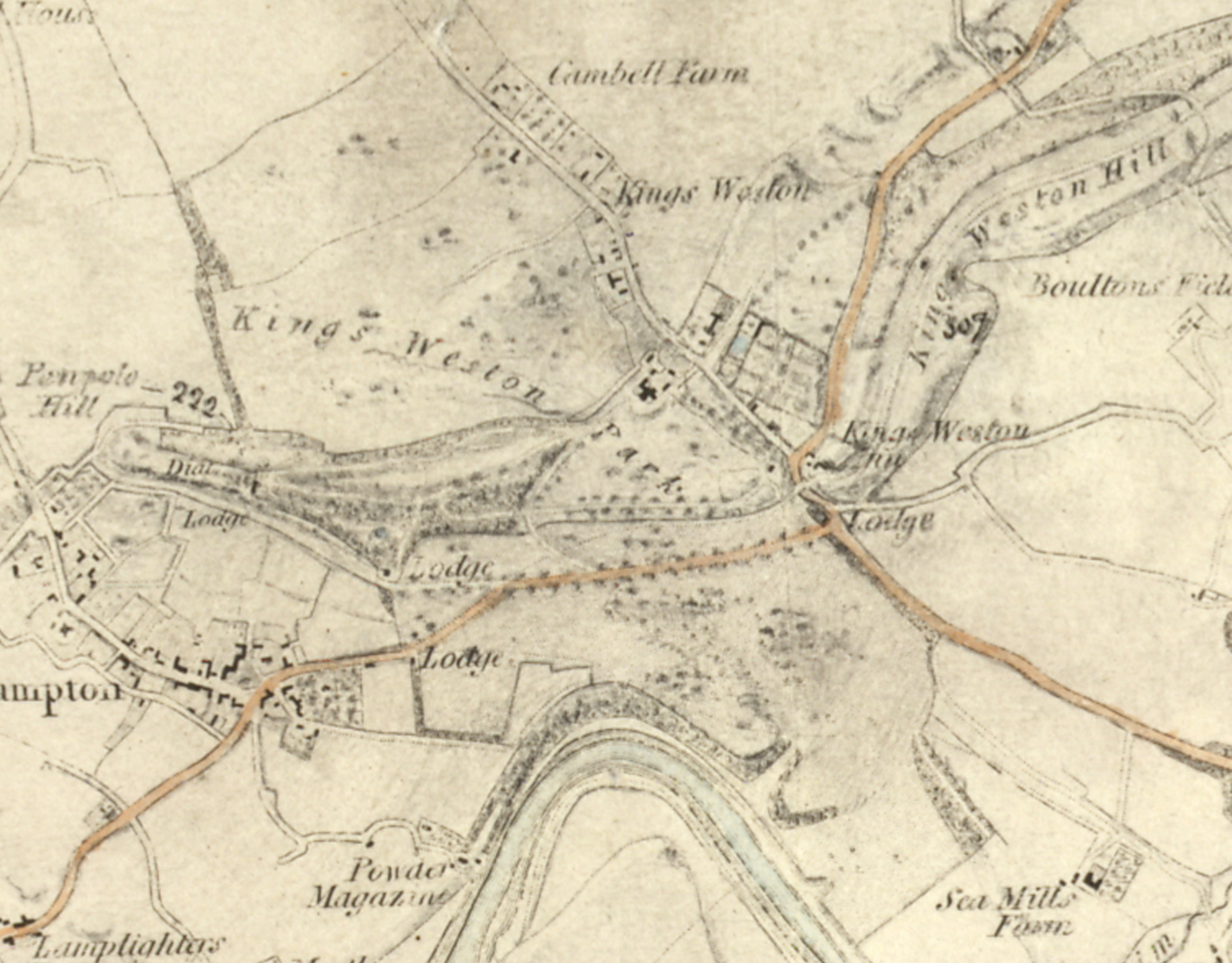
Something came to notice just recently that raises a few questions. A map of Bristol, an early production by the Ordnance Survey in 1826, has suggested a previously unknown garden feature in Penpole Wood. Looking closely at the detail it suggests that there may have been a pond in the area called Jubilee Clearing between Penpole Point and the cricket pitch.
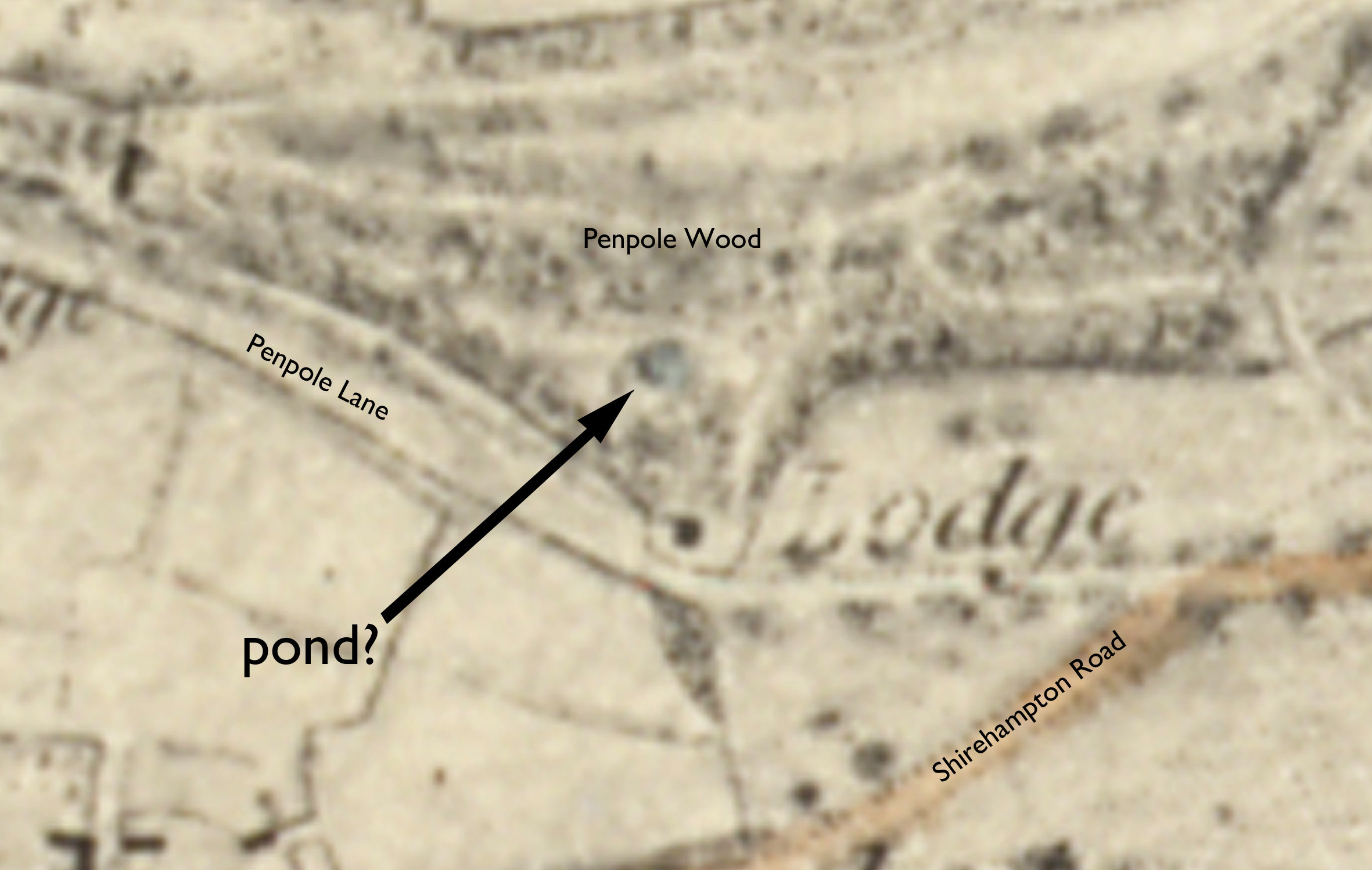
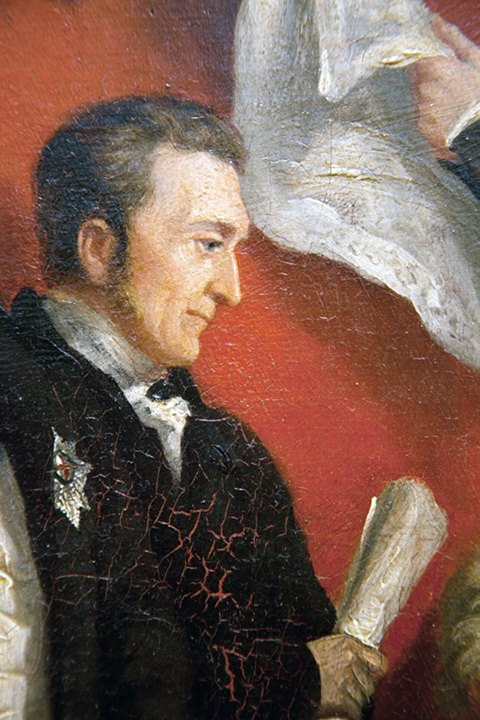
The area still retains a number of unusual specimen pine trees, unusual species only recently introduced to the country in the Nineteenth Century. Along with a glade with a water feature they might have made an attractive garden. In 1826 Kings Weston was owned by Edward Southwell IV, the 21st Baron de Clifford. One contemporary wrote of him:
“The great enjoyments of Lord de Clifford when at home was planting shrubs and trees. Many thousands were planted under his directions. I can picture him now as I often saw him, a little insignificant man riding on a very quiet horse followed by John Webb, his favourite groom, to superintend operations.”
It is possibly him responsible for laying out whatever garden might have formerly been in this area. We hope to be able to inspect the map, currently in the British library, to look closer at the detail and hopefully come up with some answers in the future.